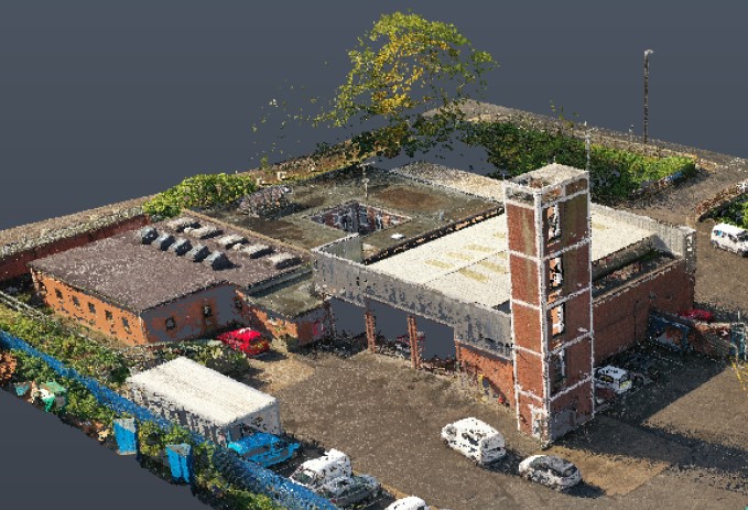
Take a quick look at some of the first images from the recent UAV, Laser Scan and Topographical Survey of an Emergency Services site in Bristol.
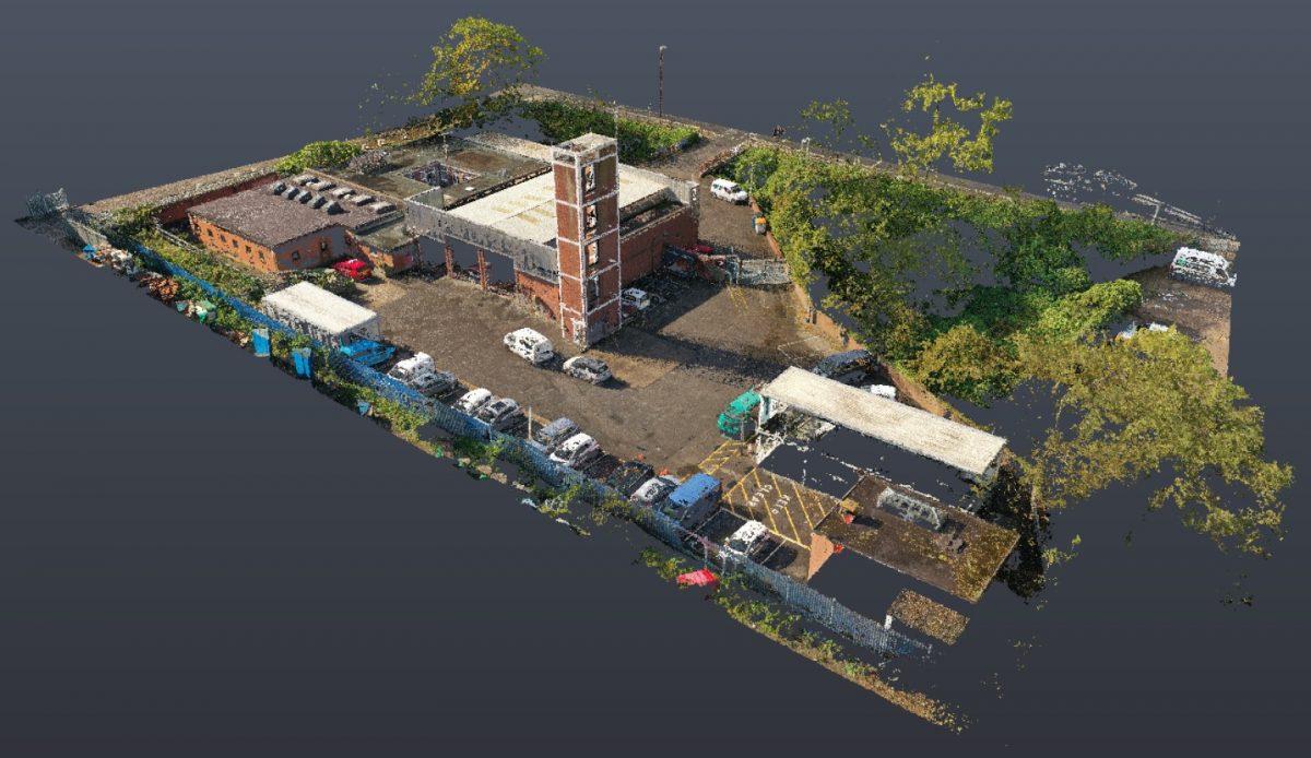
The point cloud data set is presently being modelled in 3D Revit.
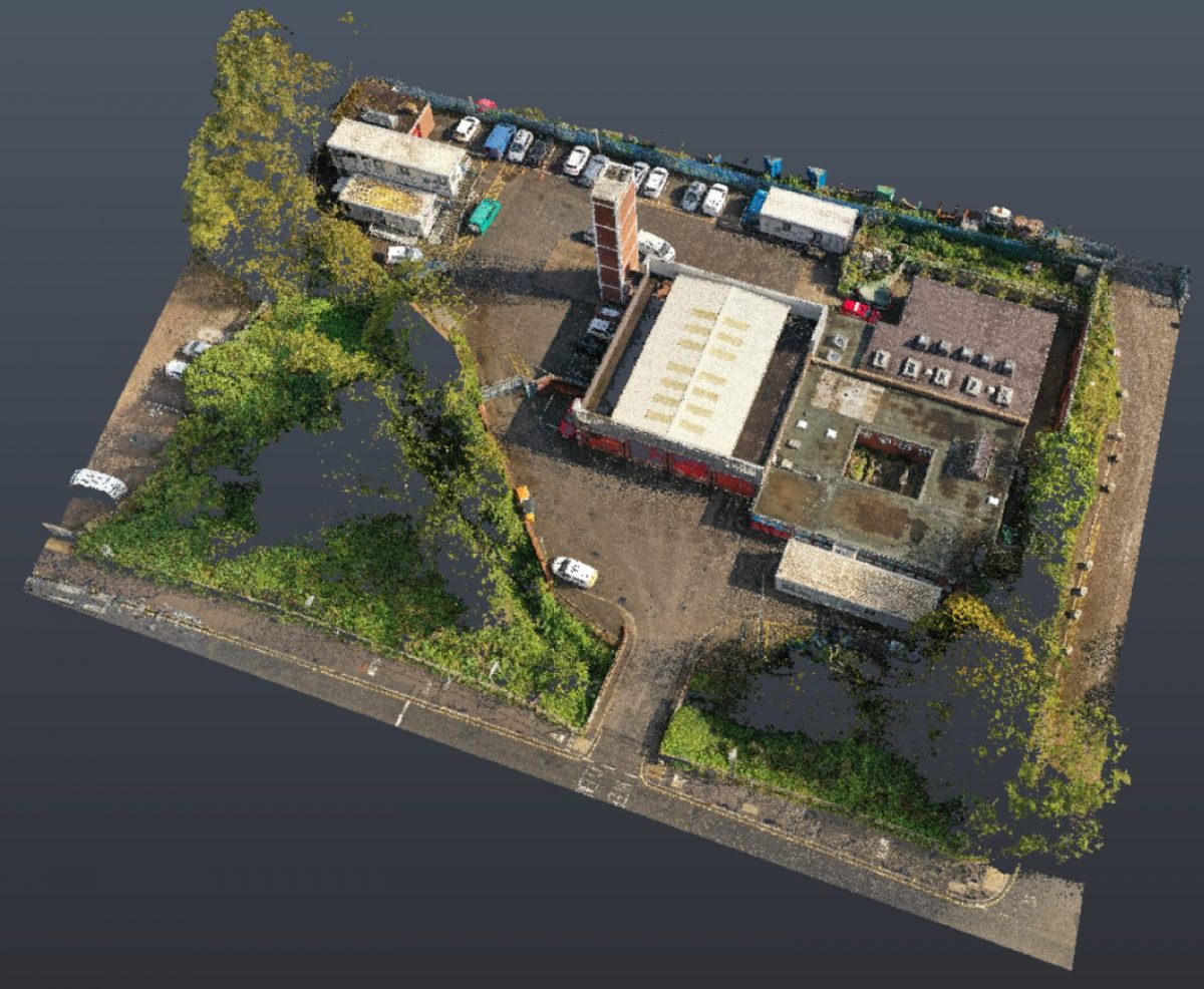
The UAV Survey point cloud was produced using state of the art Pix4D photogrammetry software.
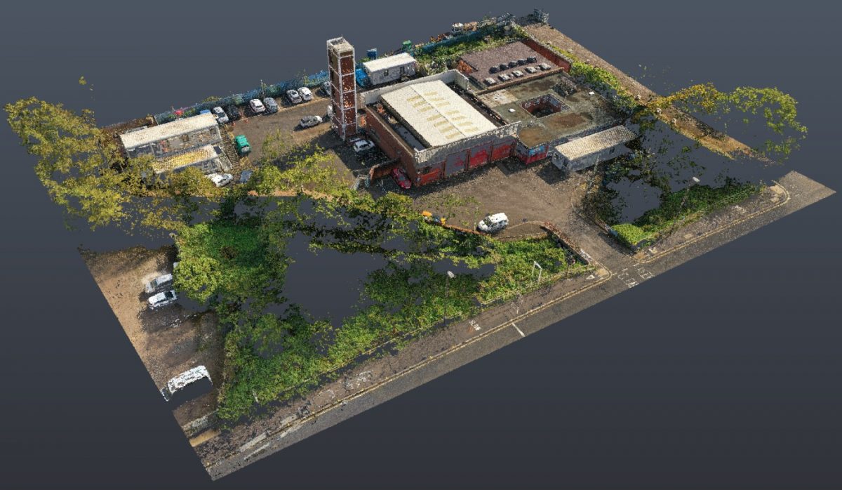
A series of ground control points were installed and used to digitally reference the 3D Laser Scan and Topographical survey to a GPS Datum.
Surveybase Limited offer a professional and trusted survey solution geared for large format education, healthcare, commercial and industrial sites. We possess the training, certification and warranties needed to successfully manage major survey commissions.
If you would like to find out more about our Topographical, Measured Building, Utilities or Scan To BIM survey services please visit the Surveybase website or contact London 02039 066892 or Bath 01225 314370. To obtain a quotation please email your brief to mailto:jordan.king@surveybase.co.uk or use our online quotation portal; Fast Quote.
Surveybase Limited operate throughout the UK along the M4 corridor and surrounding counties including major commercial centres of Cardiff, Bristol, Swindon, Oxford, Reading to London and the entire South East.