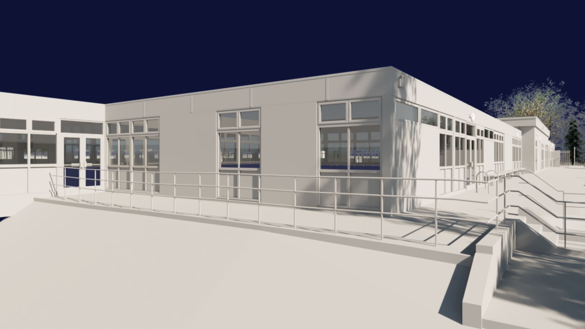
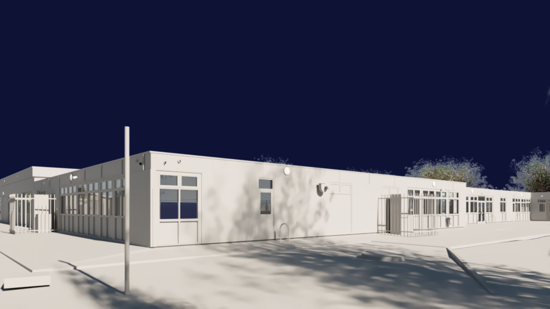
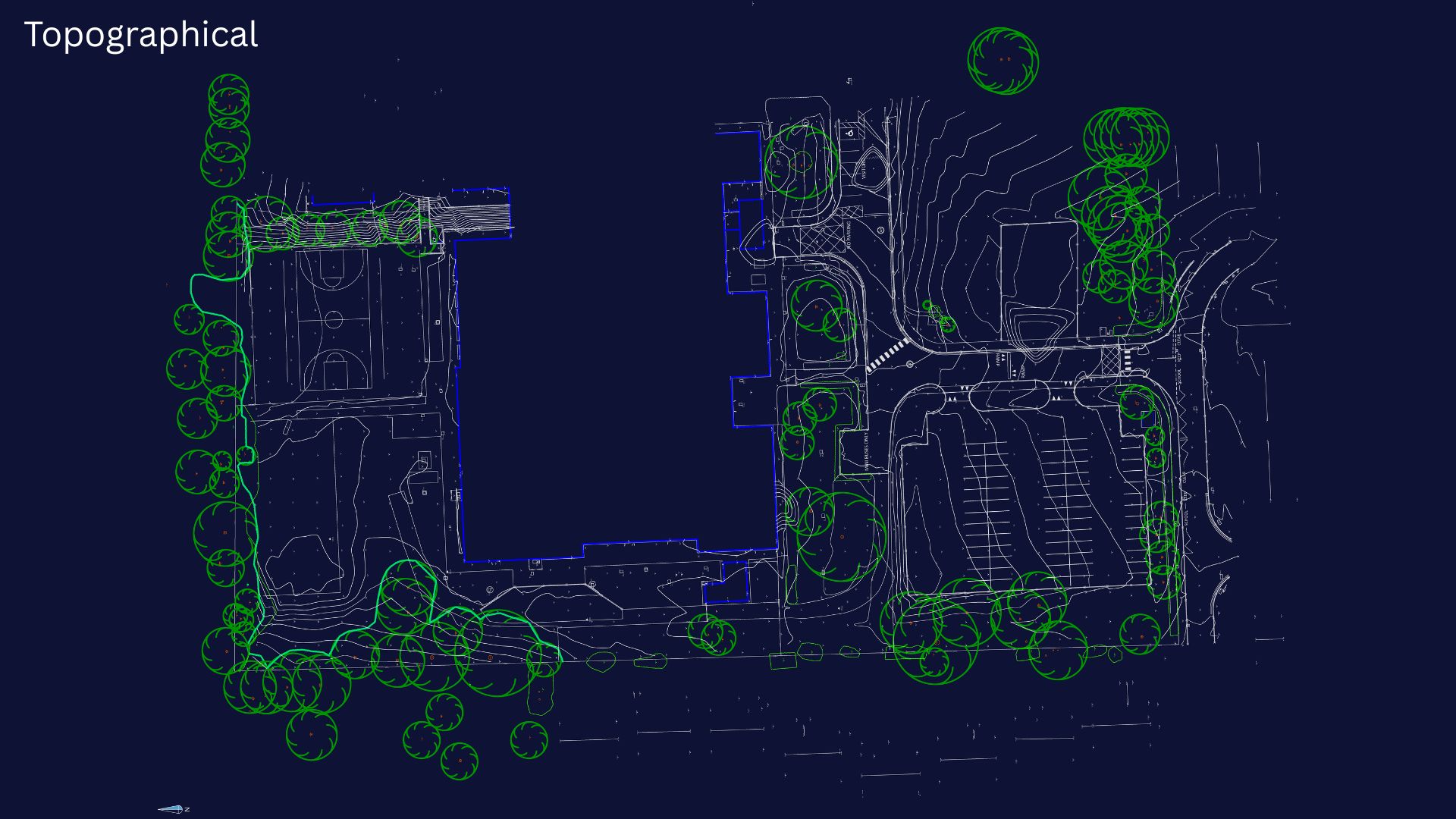
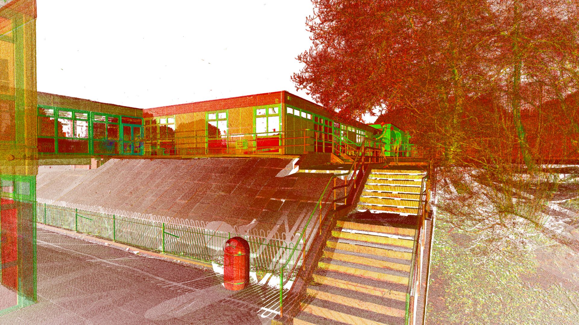
Surveybase were appointed to deliver a fully integrated surveying package across Middleton Fields Academy, capturing the school’s buildings, external grounds, and buried infrastructure to provide a complete digital representation of the site.
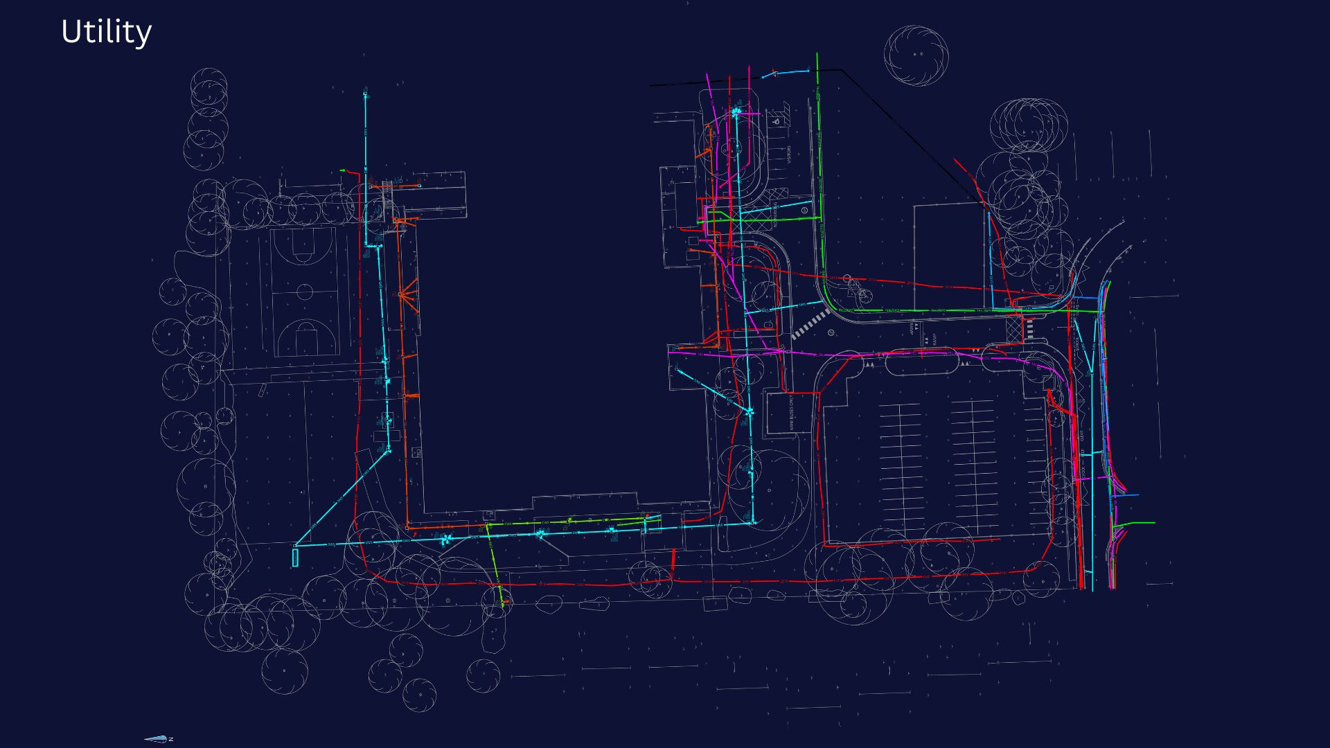
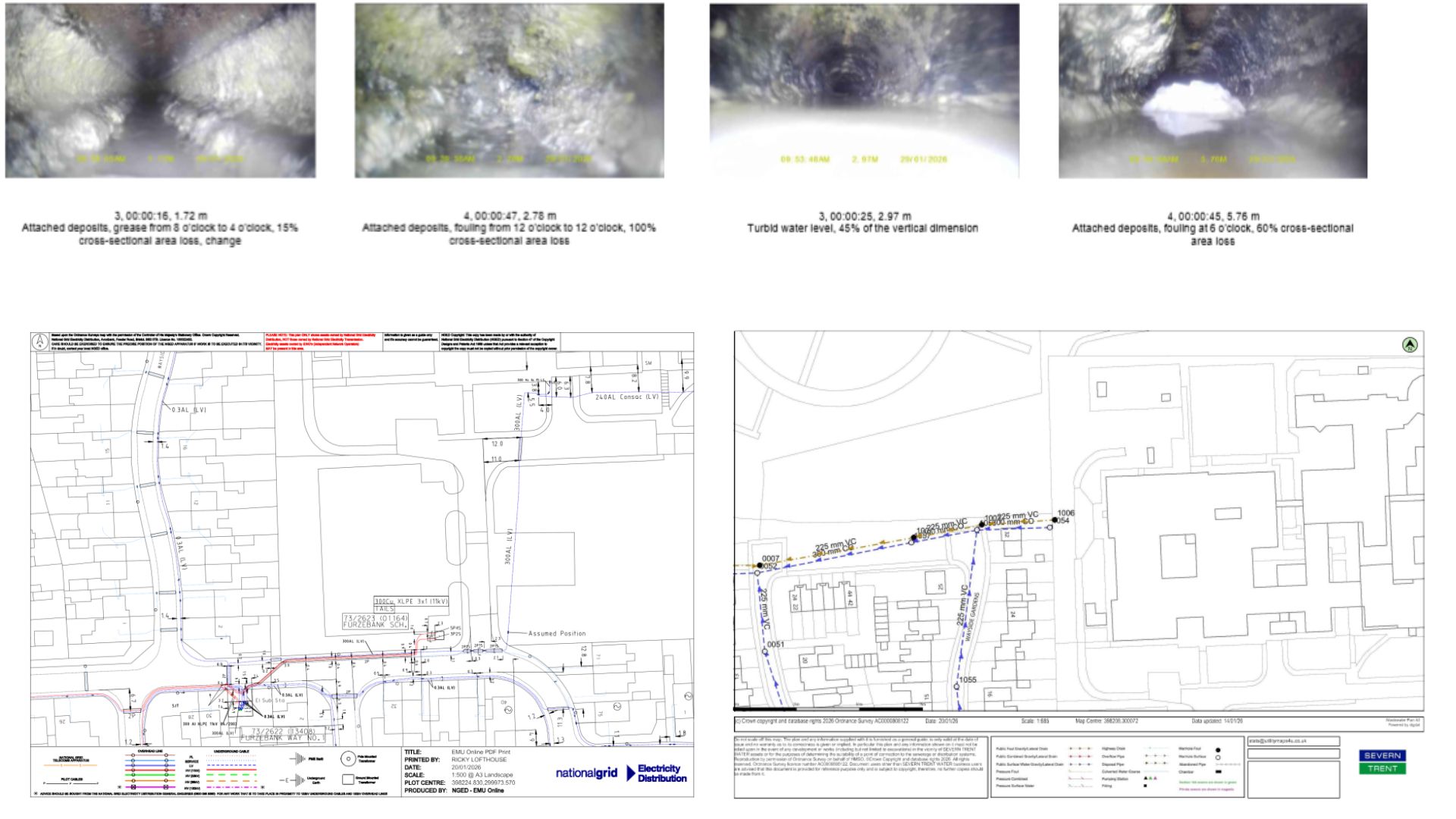
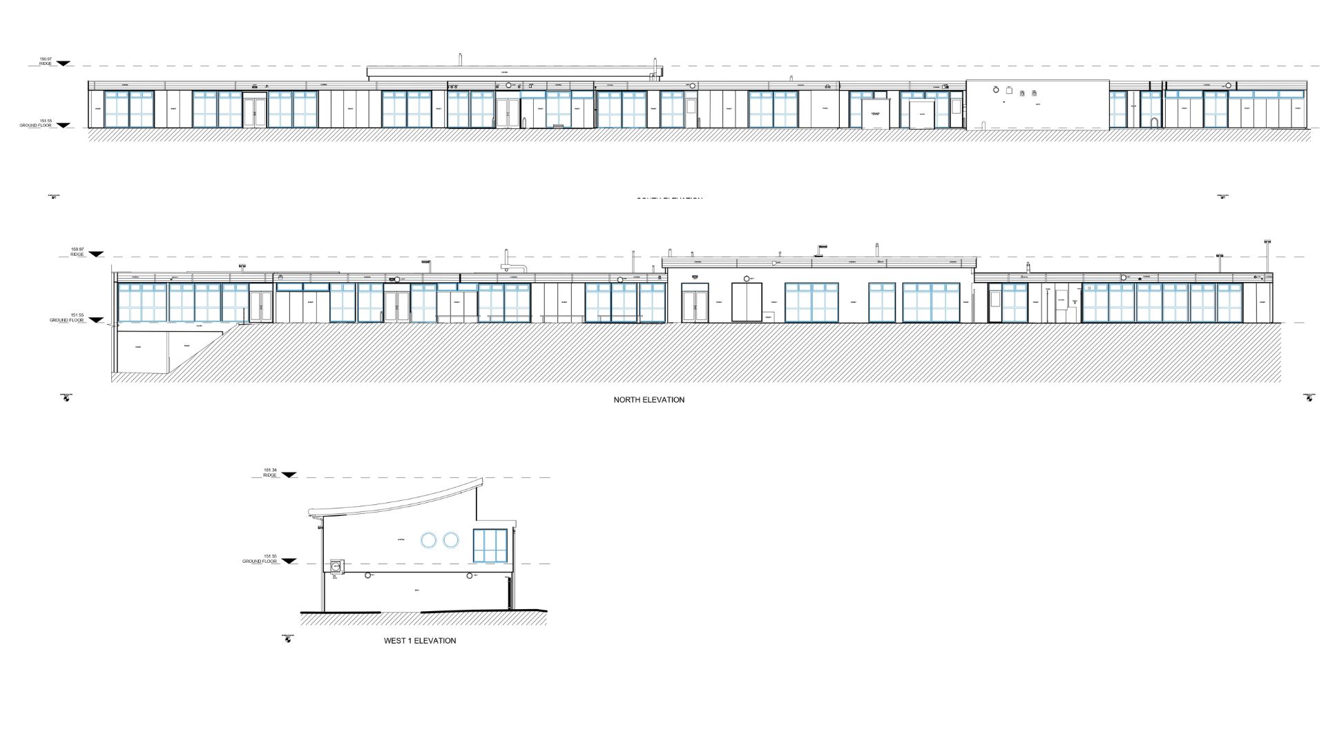
The scope of works included a 2D Topographical Survey, Measured Building Survey, comprehensive Underground Utility Survey incorporating Ground Penetrating Radar (GPR), CCTV drainage investigation, and desktop utility records search, alongside the production of a highly detailed 3D Revit BIM model.
The inclusion of a comprehensive Underground Utility Survey, featuring GPR, CCTV drainage investigation, and a desktop utility search, provided a detailed understanding of both buried services and drainage infrastructure, allowing informed decisions to be made before any design or construction work commenced.
To find out more about Utility surveys, read our blog.
The surveys were completed during the school’s half-term break, providing an ideal opportunity to capture comprehensive site data while the campus was unoccupied. Careful planning and coordination ensured the full programme of works was carried out efficiently, allowing every survey discipline to be completed within a single visit and minimising disruption to the academy’s operations.
By delivering every survey discipline through one coordinated workflow, all datasets aligned seamlessly to create a single, accurate source of information. Combining topographical, measured building, BIM, and underground utility data gives designers and project teams greater confidence during planning, reduces the risk of unforeseen issues, and helps eliminate costly delays later in the project.
This project demonstrates Surveybase’s ability to deliver integrated surveying services for complex educational estates. By combining multiple survey disciplines into one coordinated dataset, clients receive reliable, accurate information that supports efficient design, improves project coordination, and reduces risk from the earliest stages of development.