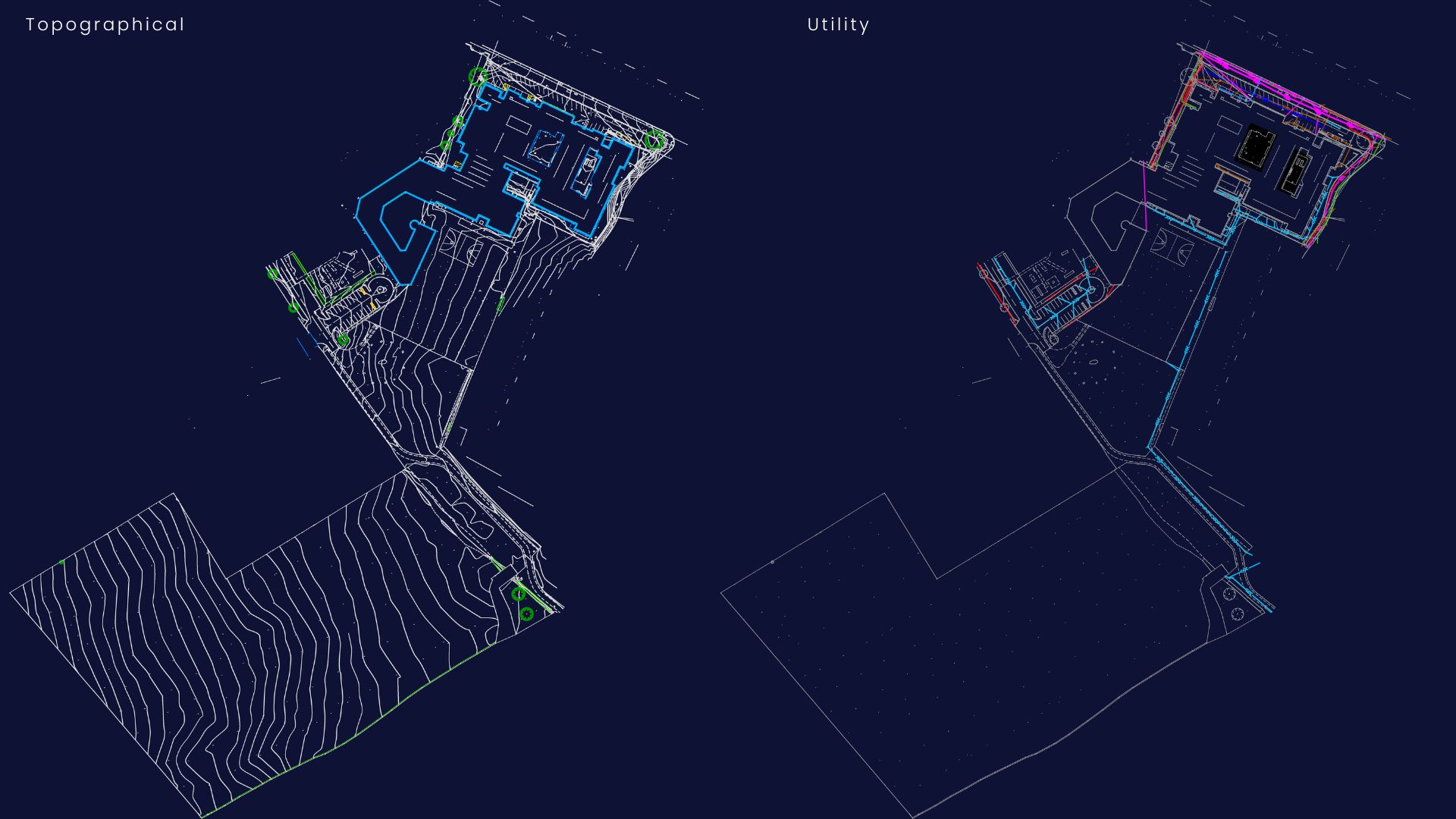
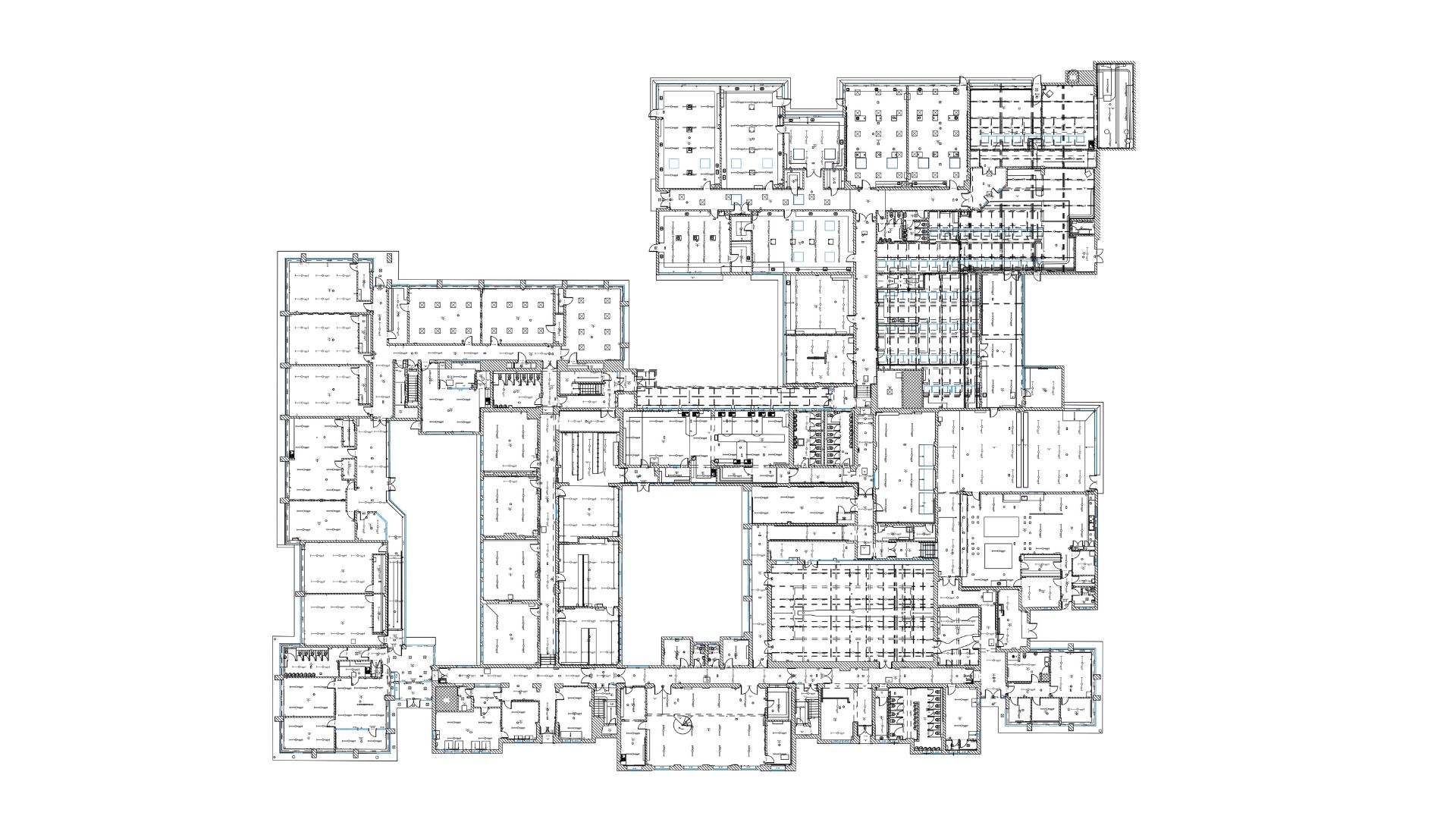
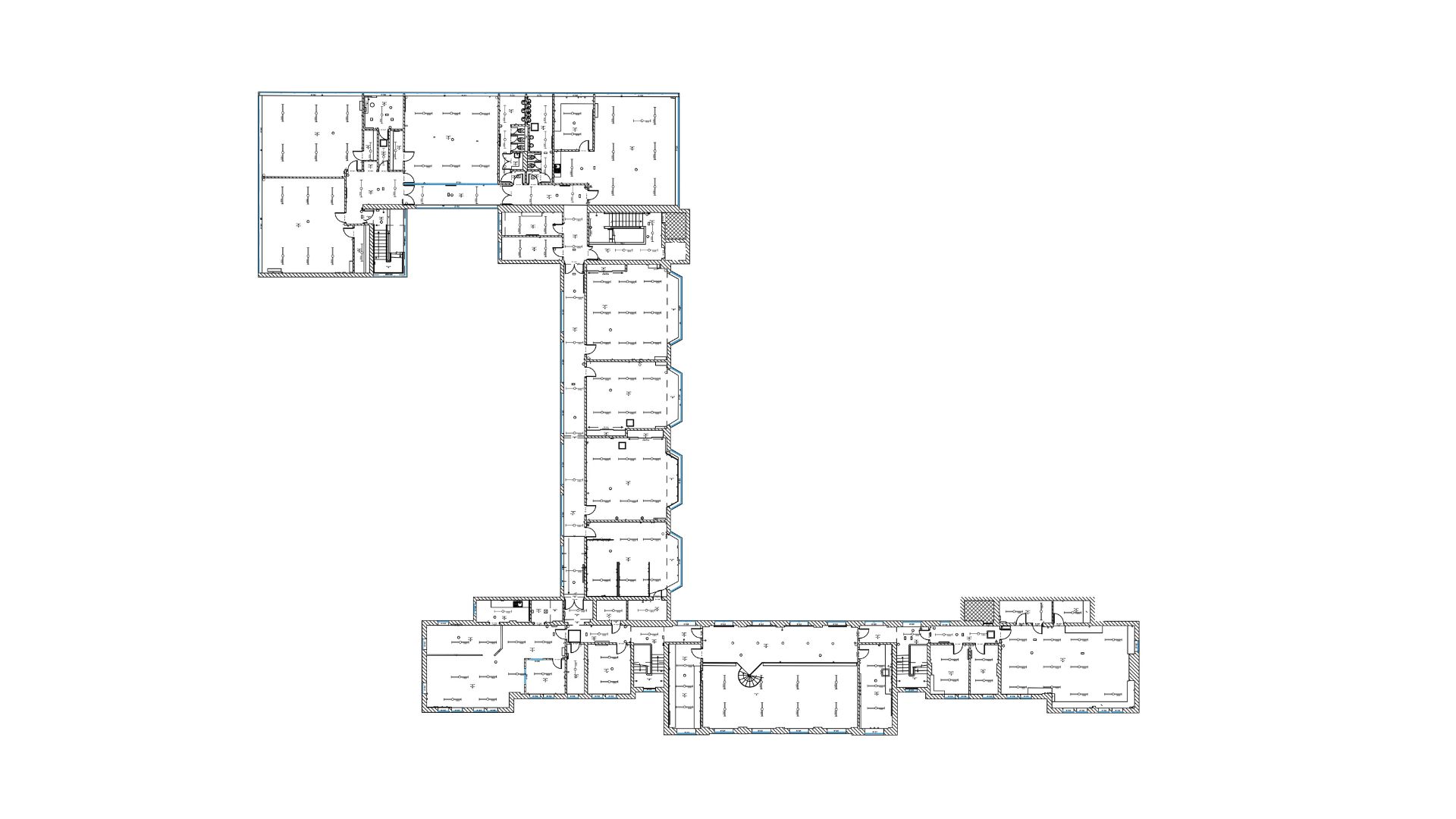
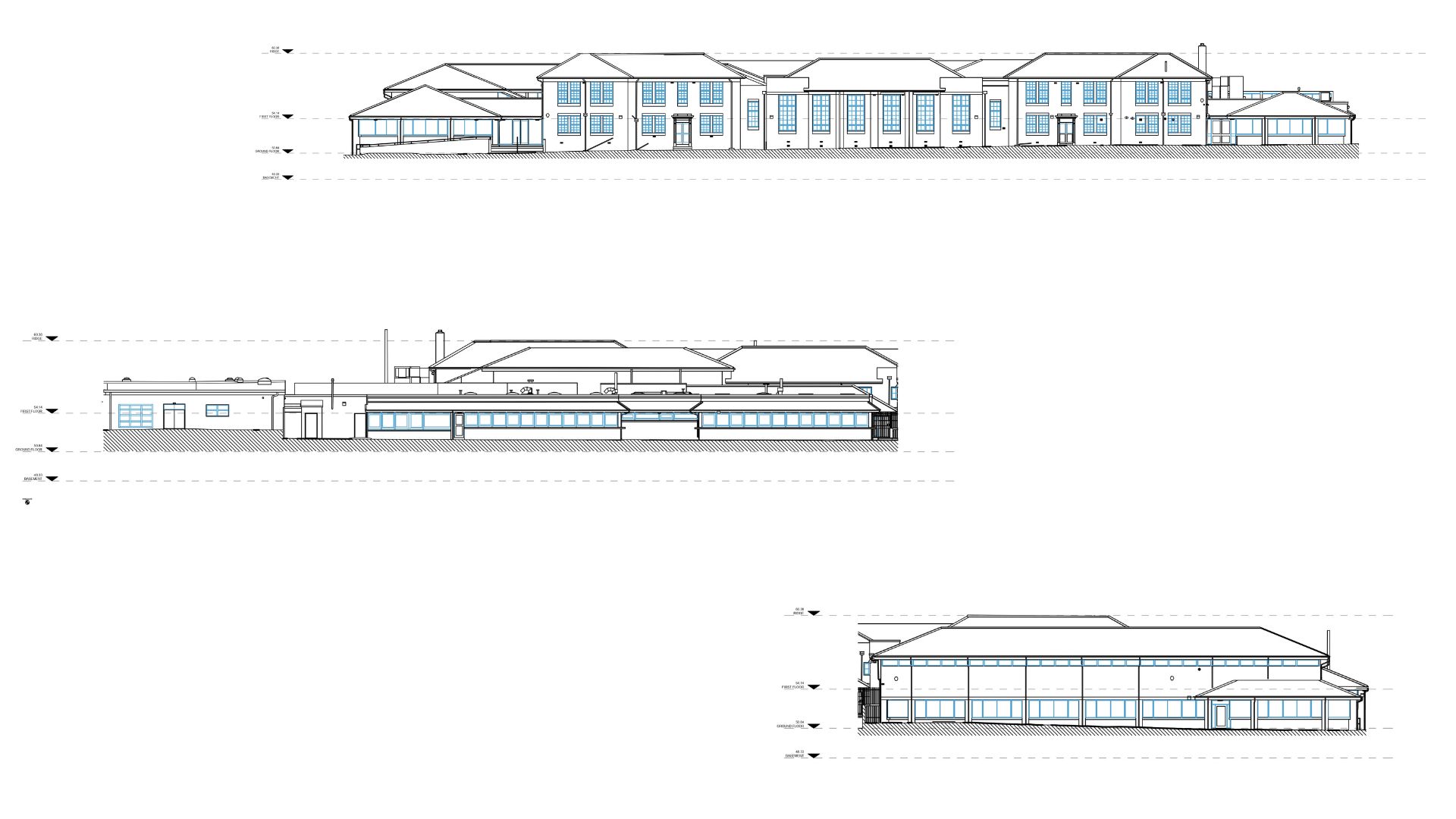
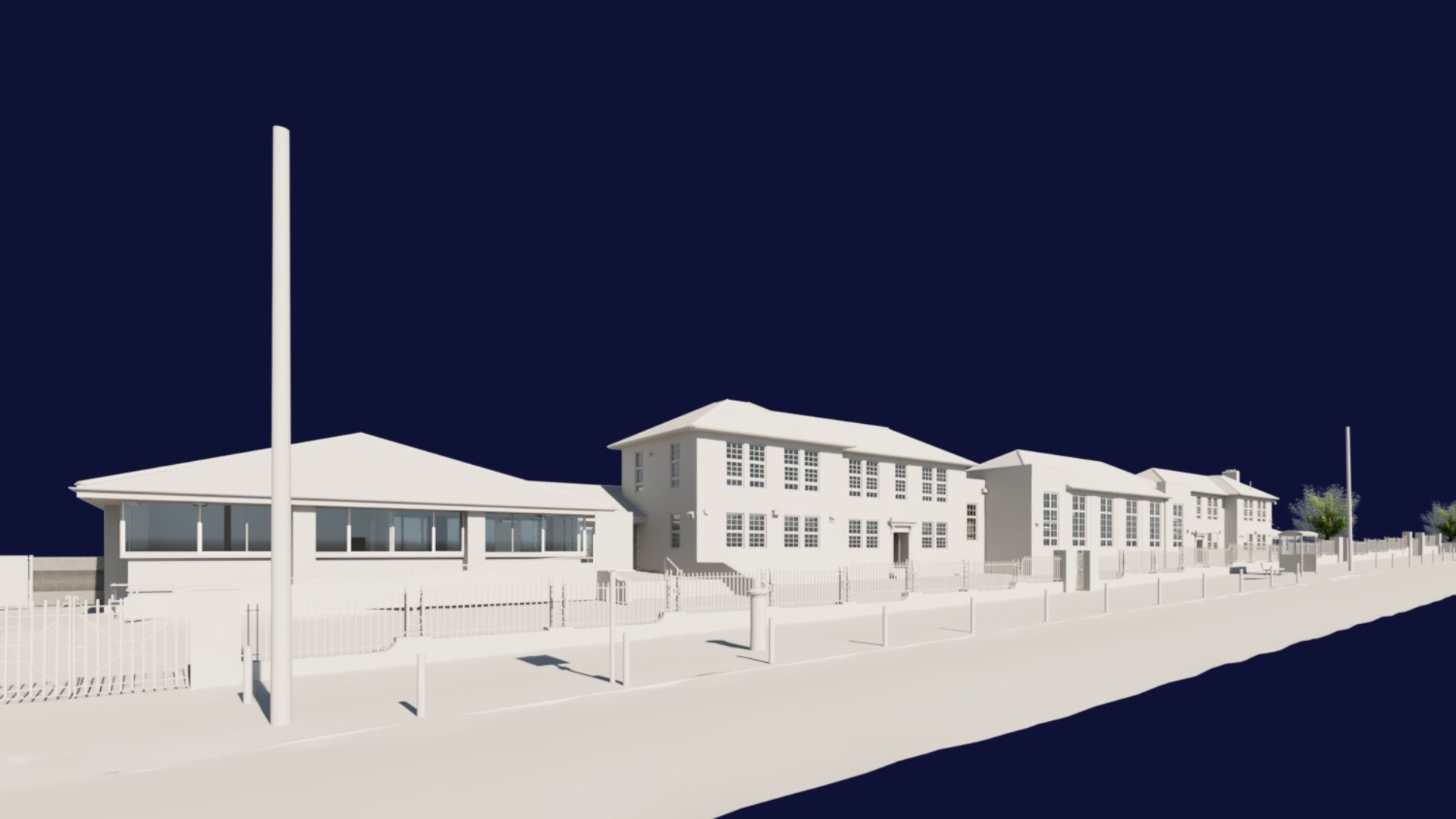
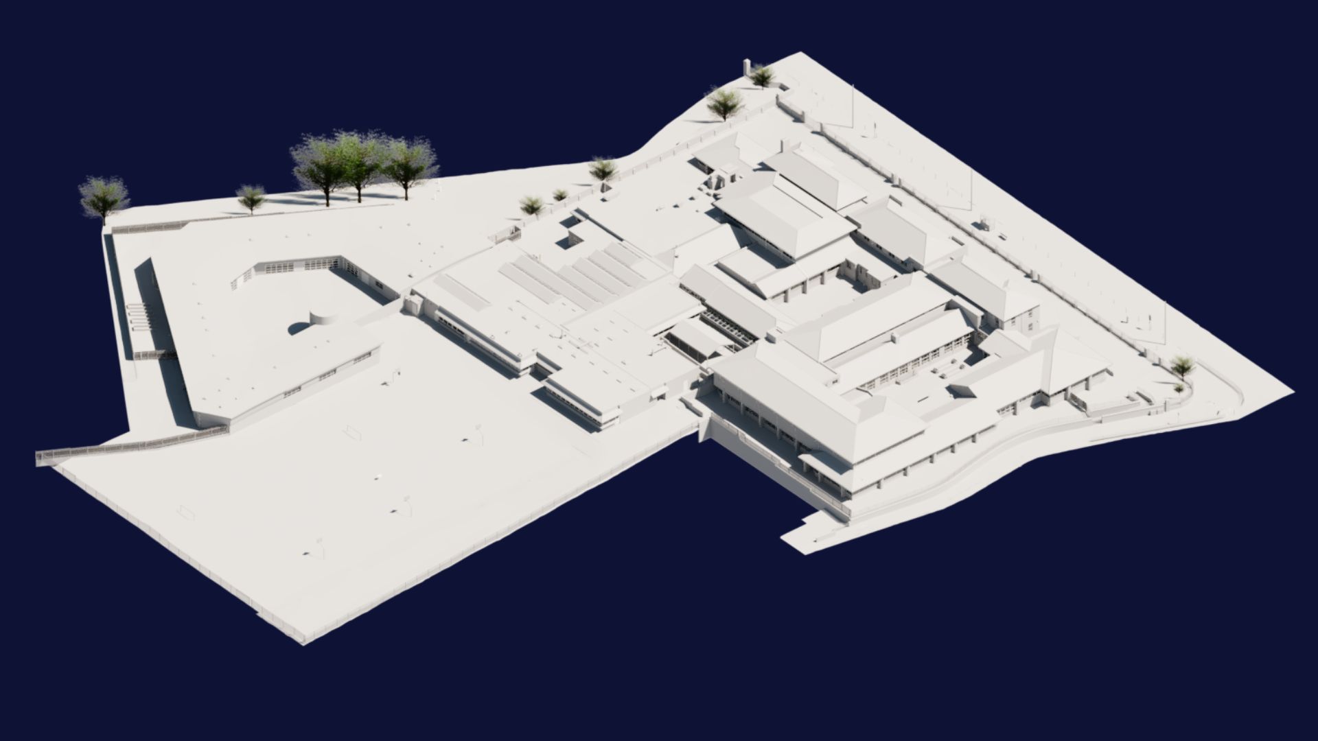
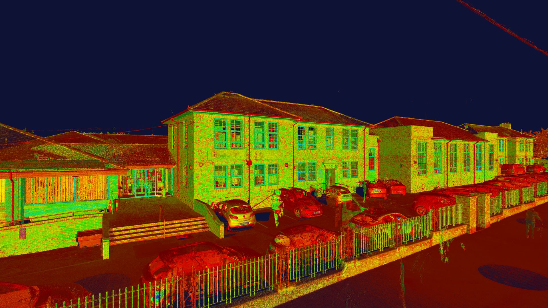
Surveybase were appointed to deliver a fully integrated surveying service, encompassing all main school buildings, sports facilities, and external grounds, providing a complete and accurate representation of the site.
The scope included a 2D topographical and Measured Building Survey, utility detection (UTL), and drone survey, as well as a 3D BIM model of the entire site, modelled to LOD4 externally and LOD3 internally, including the sports grounds and surrounding areas.
Set within an active educational environment, the project required careful coordination to ensure all survey activities were carried out safely and with minimal disruption to staff and students. Phased planning, clear communication with site management, and a flexible delivery approach were essential to successfully capture the full extent of the campus.
Having a fully integrated survey approach means all datasets are captured, processed, and delivered within a single coordinated workflow. This provides the client with one consistent and accurate source of truth, improving design coordination, reducing site risks, and enabling faster decision-making.
This project demonstrates Surveybase’s ability to deliver fully integrated surveying services across sensitive and live sites. By combining multiple survey disciplines into a single coordinated dataset, we provide clients with a clearer understanding of their assets and support more efficient, informed decision-making from the earliest stages of development.
We combine almost 30 years of business with the latest surveying technology to deliver accurate, efficient, and professional results across the UK. Whether you’re planning a residential development or a large-scale commercial project, our expert team is here to help. To get started, visit our Quote Portal for a fast, tailored quote, or email: quote@surveybase.co.uk.