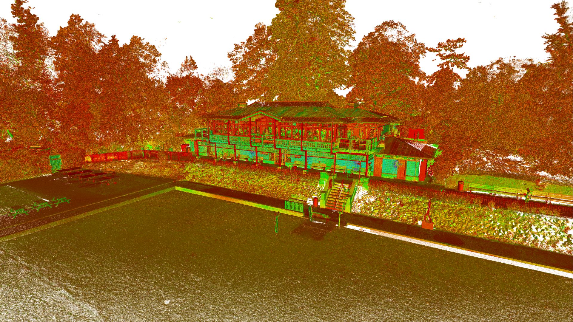
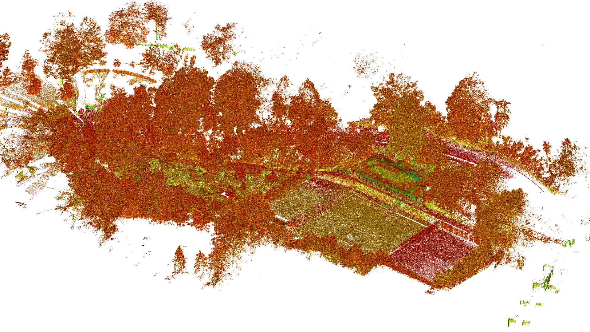
Royal Victoria Park is located in the heart of Bath, close to the iconic Royal Crescent and just a short distance from the city centre. Covering around 57 acres, the Grade II Registered Park and Garden provides a significant green space within Bath’s historic landscape, featuring landscaped gardens, mature trees, recreational areas and attractions including Victoria Falls Adventure Golf.
Surveybase were appointed to deliver an integrated surveying package at Royal Victoria Park in Bath, capturing detailed information for both The Royal Pavilion and the surrounding parkland, including Victoria Falls Adventure Golf.
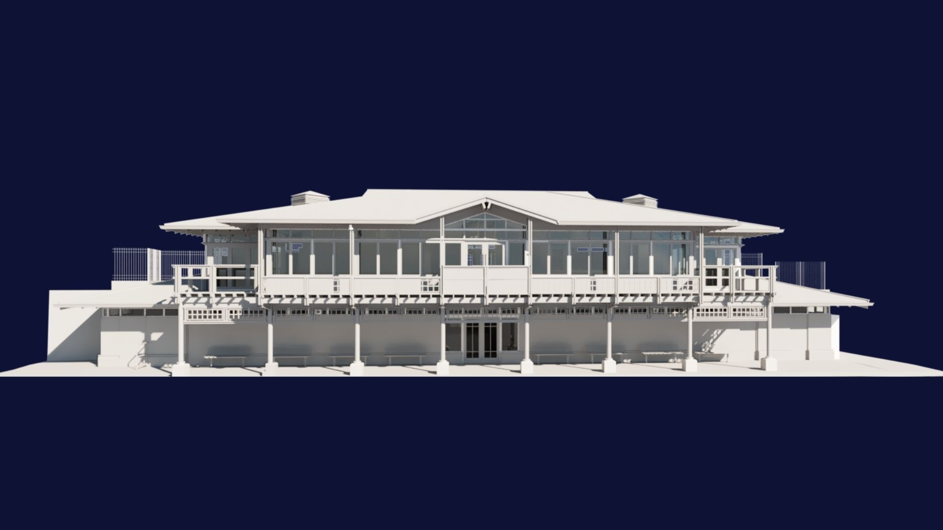
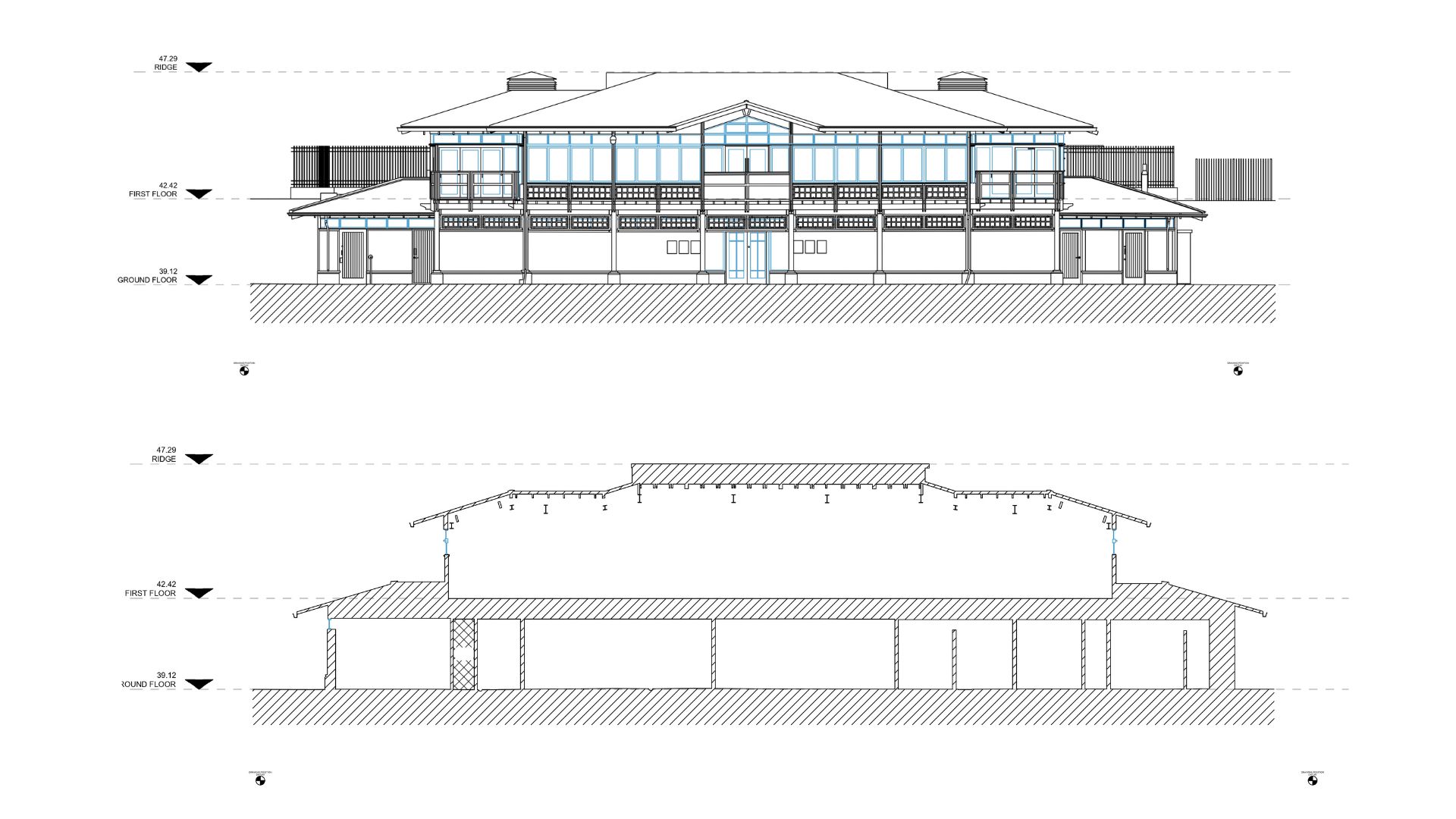
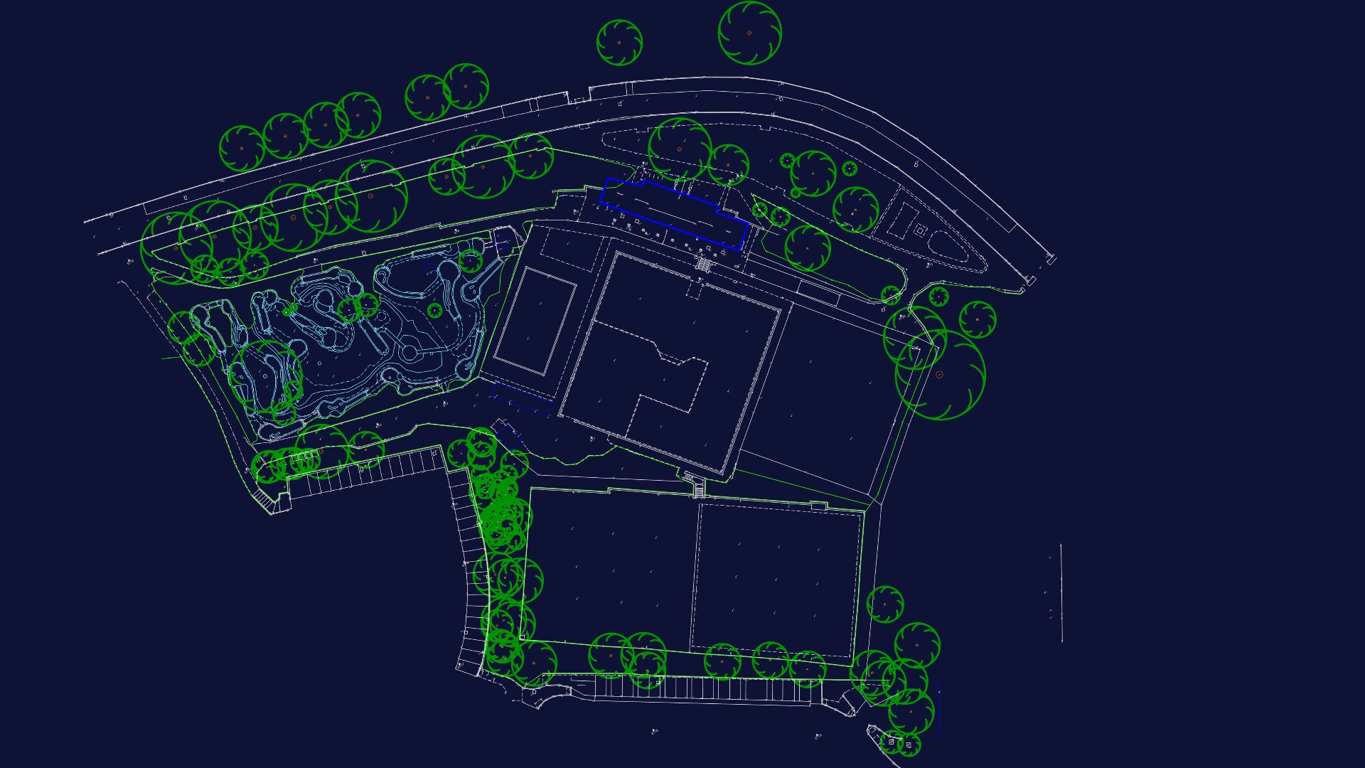
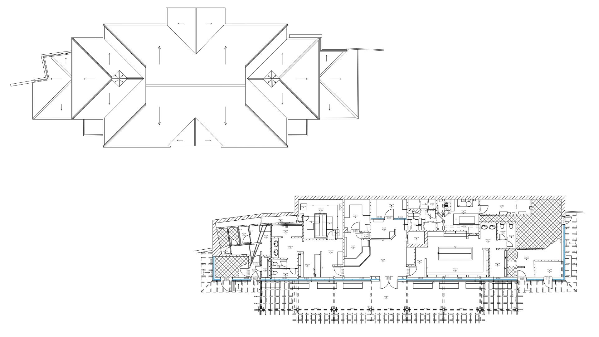
The scope of works included a comprehensive Measured Building Survey of The Royal Pavilion, alongside the production of a detailed 3D Revit BIM model to provide an accurate digital representation of the building. A Topographical Survey was also completed across the wider park, capturing site levels, features, boundaries and other relevant external information, including the area surrounding Victoria Falls Adventure Golf.
The Measured Building Survey and laser scanning provided a detailed record of The Royal Pavilion, allowing the building’s geometry, dimensions and architectural features to be accurately captured. This information was used to develop a coordinated 3D BIM model, providing a valuable digital asset for future design, planning and building management.
Surveying an extensive public park required careful planning and consideration of the different features across the site, ensuring the resulting data provided a reliable representation of the existing conditions.
By combining measured building, laser scanning, BIM and topographical surveying within one coordinated workflow, Surveybase provided a consistent and accurate dataset covering both the building and its wider setting. This approach gives project teams greater confidence when assessing existing conditions and supports more informed decisions during future design, planning and development.
The project demonstrates Surveybase’s ability to deliver integrated surveying services across complex public spaces and historic environments, combining detailed building information with comprehensive external site data to create accurate digital records that can support future development and estate management.