Surveybase is a recognised leader in Underground Utility Surveying. With our nationwide service, we deliver accurate and reliable underground utility mapping solutions, helping clients mitigate risks, enhance safety, and ensure compliance, providing confidence in your project from the outset.
Underground Utility Surveys are essential for a wide range of projects where accurate mapping of buried infrastructure is critical for safety, compliance, and efficiency. These include:
Architecture & Planning: Providing accurate underground utility data to inform site feasibility, master planning, and early-stage design decisions.
Construction & Development: Ensuring safe excavation and preventing costly utility strikes.
Infrastructure & Civil Engineering: Supporting the design and maintenance of roads, railways, bridges, and utilities.
Urban Regeneration & Redevelopment: Identifying underground services in complex built environments.
Utility Installation & Maintenance: Providing precise service locations for water, gas, electricity, and telecom networks.
Highways & Transport Projects: Mapping buried utilities to aid roadworks, expansions, and public transport upgrades.
Commercial & Residential Projects: Assisting architects, developers, and contractors in safe site planning.
Environmental & Drainage Surveys: Locating drainage systems and assessing flood risk.
An Underground Utility Survey is essential for accurately detecting, identifying, and mapping buried infrastructure, including gas, water, electricity, telecommunications, drainage, and sewer networks. Utilising advanced technologies such as Ground Penetrating Radar (GPR) and Electromagnetic Detection, these surveys provide precise data on the location, depth, and type of underground services.
Deliverables of an Underground Utility Survey include a comprehensive Desktop Utility Search Report, providing detailed information on local underground services, along with Utility Survey Plans or Models that map the exact location, depth, and type of underground infrastructure in relation to your site. These surveys help clients minimise risk, prevent costly utility strikes, and ensure the safe and efficient planning of construction, excavation, and infrastructure projects.
We offer a four-tier Underground Utility Survey service, including Desktop Utility Search Reports, Drainage Mapping, Utilities Services Detection, and a full PAS- 128 project management solution.
An underground utility survey is important before construction to accurately locate buried services and avoid costly damage, delays, or safety risks. It helps ensure that excavation and building work can proceed safely and efficiently, reducing the chance of striking pipes, cables, or other critical infrastructure.
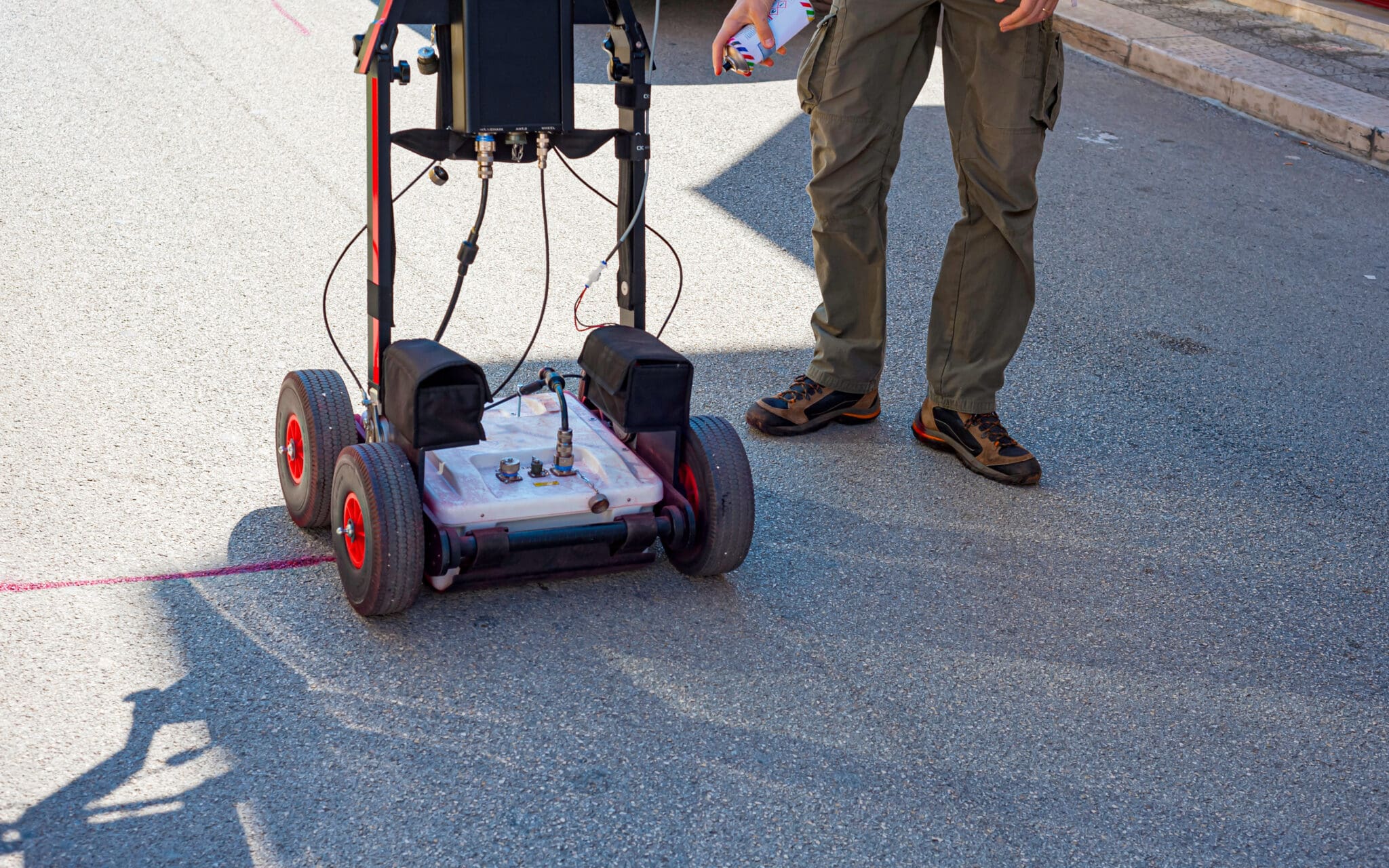
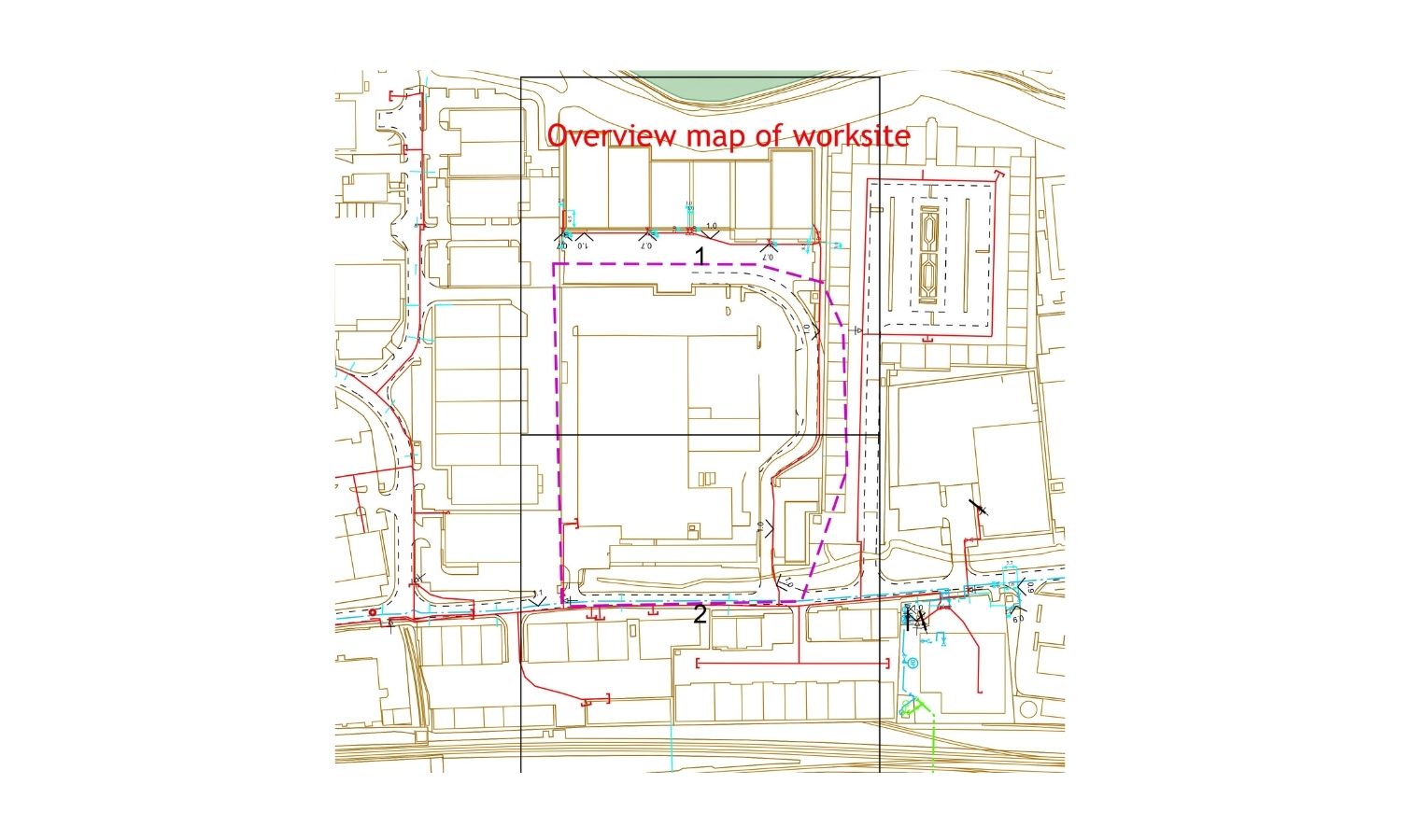
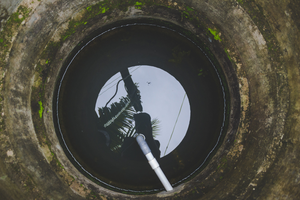
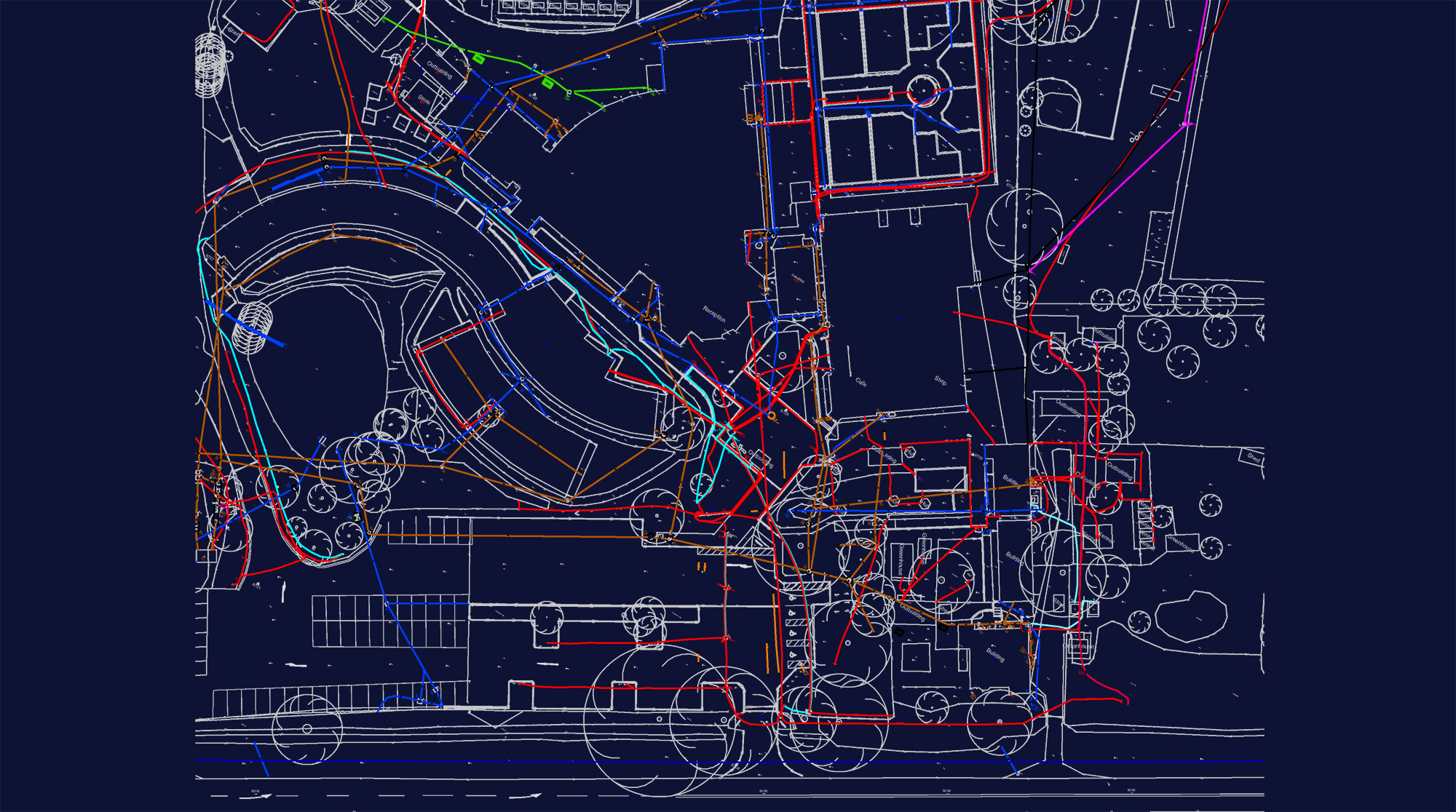
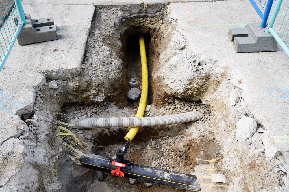
If you are planning excavation, construction, or redevelopment, a utility survey is highly recommended. It helps prevent damage to underground services, ensures safety, and avoids costly delays. If your project involves digging near roads, buildings, or existing utilities, a survey will provide accurate data to reduce risks and ensure compliance with regulations.
The cost of a Utility Survey depends on several factors, including the size of the site, complexity, location, and required detection methods (such as Ground Penetrating Radar or Electromagnetic Detection). Each project is unique, so pricing varies based on specific requirements. For a free, no obligation quote, please contact us today.
Unlock the benefits of integrated surveying services with Surveybase. Our comprehensive solutions combine a range of services to deliver efficient, accurate, and cost-effective results, supporting every phase of your project with precision and reliability.
Surveybase is a recognised leader in Building Information Modelling (BIM) consultancy, specialising in high-precision 3D BIM Surveys. With our nationwide service, we deliver accurate and reliable modelling data, ensuring complete confidence in your project from the outset.
Surveybase is a trusted leader in CCTV Drainage Surveys across the UK. Our nationwide service delivers accurate and reliable inspections to assess the location, condition, and repair needs of drainage systems. Whether for pre- construction planning or ongoing maintenance, we provide the insight and assurance you need, right from the start.
Since 1997, Surveybase has been a trusted leader in Measured Building Surveys. Providing nationwide coverage, we deliver precise and dependable 2D and 3D outputs, ensuring complete confidence in your project from day one.
Since 1997, Surveybase has been a trusted leader in Topographical Surveys, offering nationwide coverage and delivering accurate, high-quality 2D and 3D survey data. Our proven expertise guarantees precise terrain mapping for design, planning, and compliance, ensuring total confidence in your project from the outset.
Each project highlights our dedication to accuracy, innovation, and delivering integrated surveying services. Discover how we’ve helped clients achieve successful outcomes with precise, high-quality data.
To obtain a quotation, please email your survey brief to: quote@surveybase.co.uk or use our online quote portal.