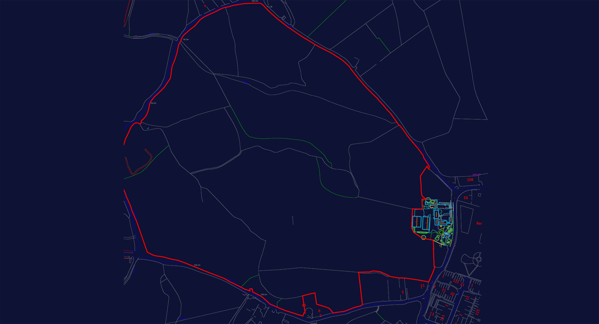
Since 1997, Surveybase has been a trusted provider of Land Registry Surveys. With nationwide coverage, we deliver accurate, fully compliant Land Registry Plans you can rely on for registration, transfer, and legal documentation.

A Land Registry Survey is essential for a wide range of projects where accurate boundary definition and legal clarity are critical. These include:
A Land Registry Survey is a detailed survey that accurately defines the boundaries of a property, along with its physical features and legal rights. Tailored to meet the specific requirements of the Land Registry, these surveys provide an official, compliant plan used for property transactions, legal documentation, and planning applications. The deliverables typically include a fully compliant Land Registry Plan with clear boundary markings and precise dimensions, title information, easements or rights of way, and scaled drawings that meet legal standards. Digital files are provided in formats such as PDF, DWG, or DXF for easy integration into planning and legal documents. Land Registry Surveys are essential for property sales, resolving boundary disputes, confirming ownership, and ensuring accurate representation in official records.
Land Registry Lease Plans
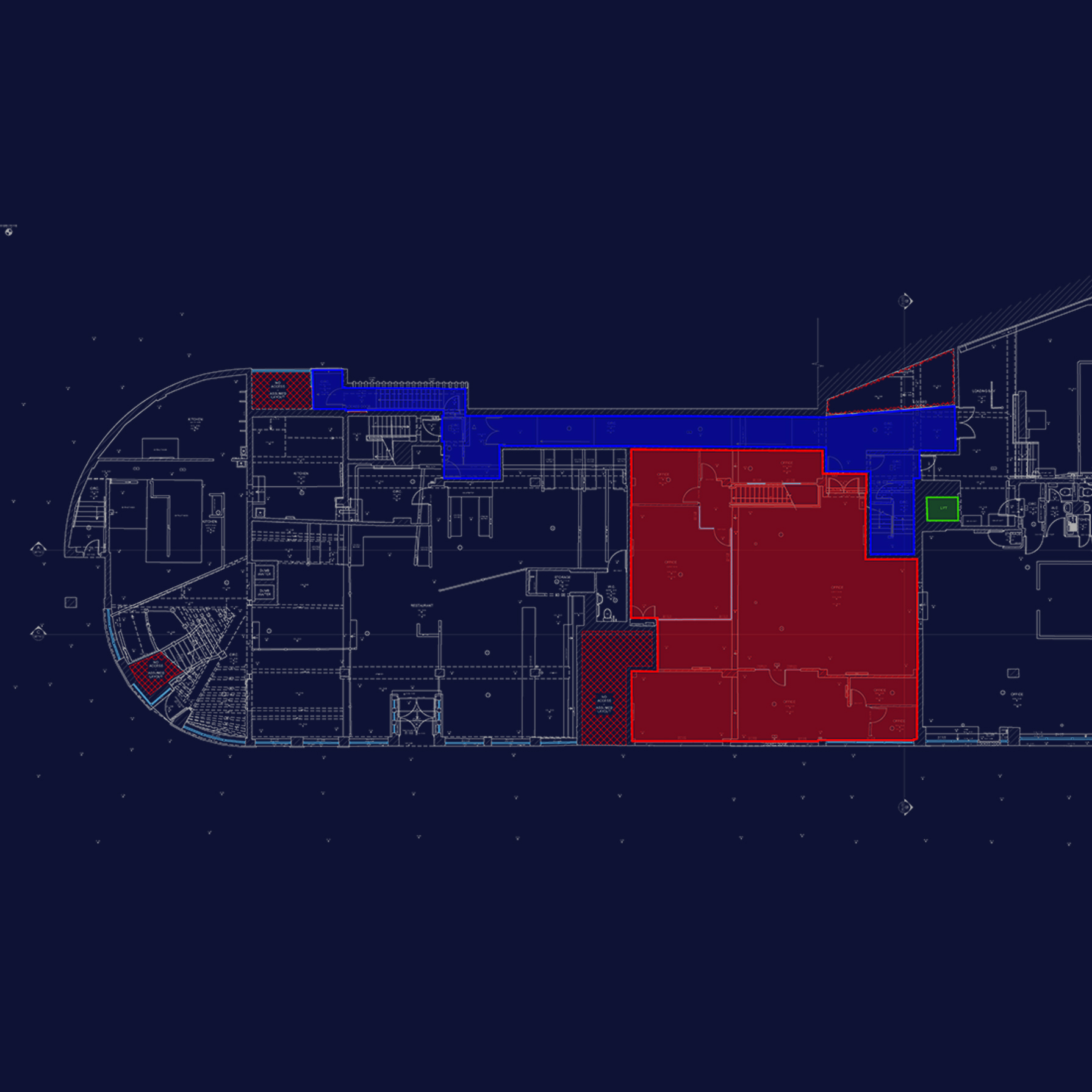
In addition to standard Land Registry Surveys, we also specialise in creating Land Registry Lease Plans. These plans are specifically used for defining lease boundaries and areas in leased properties, ensuring that leasehold interests are accurately documented and compliant with the Land Registry’s requirements. A Land Registry Lease Plan will clearly outline the leased area within the property, marking the lease demise and any associated rights or exclusions. These plans are essential for lease agreements, property management, and ensuring legal clarity in commercial and residential leases. The deliverables include a detailed plan with clear boundary markings, relevant dimensions, and any notes regarding the lease area, providing essential documentation for property transactions and legal use.
We offer three flexible options for Land Registry Plan creation, designed to suit the specific needs of your project and budget. Whether it’s leveraging existing digital records, conducting a Boundary Survey for Land Registry, or carrying out a Measured Building Survey for Land Registry Lease Plans, we deliver accurate, compliant solutions tailored to your requirements.


We use the latest surveying equipment to produce highly accurate plans that meet all Land Registry requirements, reducing the risk of registration rejections.
You may need a Land Registry survey if you’re registering unregistered land, updating existing title plans, or subdividing a property. It provides an accurate, scaled plan that meets HM Land Registry requirements, ensuring your property details are clearly and correctly recorded.
The cost of a Land Registry survey depends on factors such as the size and complexity of the property, location, and level of detail required. For an accurate, tailored quote, please get in touch with us – we’ll be happy to help.
Unlock the benefits of integrated surveying services with Surveybase. Our comprehensive solutions combine a range of services to deliver efficient, accurate, and cost-effective results, supporting every phase of your project with precision and reliability.
Surveybase is a recognised leader in Underground Utility Surveying. With our nationwide service, we deliver accurate and reliable underground utility mapping solutions, helping clients mitigate risks, enhance safety, and ensure compliance, providing confidence in your project from the outset.
Since 1997, Surveybase has been a trusted leader in Measured Building Surveys. Providing nationwide coverage, we deliver precise and dependable 2D and 3D outputs, ensuring complete confidence in your project from day one.
Since 1997, Surveybase has been a trusted leader in Topographical Surveys, offering nationwide coverage and delivering accurate, high-quality 2D and 3D survey data. Our proven expertise guarantees precise terrain mapping for design, planning, and compliance, ensuring total confidence in your project from the outset.
Each project highlights our dedication to accuracy, innovation, and delivering integrated surveying services. Discover how we’ve helped clients achieve successful outcomes with precise, high-quality data.
To obtain a quotation, please email your survey brief to: quote@surveybase.co.uk or use our online quote portal.