3D Revit (BIM) Survey

3D Revit Building Model
3D Revit Topographical Model
3D Revit MEP Model
3D CAD Model
3D Render & Visualisation
Digital Twin Model
2D Extracted Plans
Navisworks Clash Detection
3D IFC Model
Scan to BIM
BIM Consultancy
Rights to Light Model
3D Revit Building Model
3D Revit Topographical Model
3D Revit MEP Model
3D CAD Model
3D Render & Visualisation
Digital Twin Model
2D Extracted Plans
Navisworks Clash Detection
3D IFC Model
Scan to BIM
BIM Consultancy
Rights to Light Model
3D BIM Surveys

Your Trusted Experts in 3D Revit (BIM) Surveys

Surveybase is a recognised leader in Building Information Modelling (BIM) consultancy, specialising in high-precision 3D BIM Surveys. With our nationwide service, we deliver accurate and reliable modelling data, ensuring complete confidence in your project from the outset.

What projects can benefit from 3D Revit (BIM) Surveys?

A 3D Revit (BIM) Survey can benefit a wide range of projects, including:

  • Renovation and Refurbishment: Accurately capturing as-built conditions of existing buildings, enabling architects and engineers to design improvements or alterations with precision and ease.
  • Heritage and Listed Buildings: Providing detailed measurements of historical buildings to support conservation efforts, preserving structural integrity and architectural accuracy.
  • New Build Developments: Offering a precise and detailed base for design, planning, and construction, ensuring seamless integration of new structures with the existing environment.
  • Facility Management: Delivering a comprehensive, data-rich model to facilitate maintenance, repairs, and upgrades throughout the building’s lifecycle, ensuring long-term functionality and efficiency.
  • Structural and MEP Design: Empowering engineers and designers with accurate spatial data, ensuring smooth coordination of mechanical, electrical, and plumbing systems.
  • Site Analysis and Planning: Offering precise topographical and contextual data to evaluate the feasibility of a site for development or infrastructure projects, enhancing decision-making and planning.

What is a 3D Revit (BIM) Survey?

A 3D Revit (BIM) Survey is an advanced method of capturing highly accurate, detailed data about a building or site using laser scanning and precision survey techniques. This data is then used to create a 3D model in Autodesk Revit, a leading Building Information Modelling (BIM) software.

This 3D model provides an accurate, digital representation of the built environment, supporting a wide range of uses, from design and planning to construction and facility management. By delivering a data- rich, precise model, a 3D Revit (BIM) Survey allows professionals in architecture, engineering, and construction to visualise and analyse building elements with greater accuracy, enhancing decision-making and improving project outcomes.

Four-Tier Survey Options

We offer a flexible approach to the Level of Detail (LOD) in 3D Survey Models, tailored to meet the specific needs of your project, including:

LOD1 – MASS MODEL
This entry-level solution delivers essential volumetric information, making it suitable for contextual sites and buildings facing the project site. The level of detail is comparable to a 1:200 scale measured survey.
LOD1-resized
LOD1 – MASS MODEL
This entry-level solution delivers essential volumetric information, making it suitable for contextual sites and buildings facing the project site. The level of detail is comparable to a 1:200 scale measured survey.
LOD2 – SHELL & CORE
A simplified structural model suitable for demolition or strip-out projects, rights to light assessments, and contextual sites and buildings facing the project site. It includes floors, ceilings, and structural openings, with facades presented without detail. The level of detail aligns with a 1:200 scale measured survey.
LOD2-resized
LOD2 – SHELL & CORE
A simplified structural model suitable for demolition or strip-out projects, rights to light assessments, and contextual sites and buildings facing the project site. It includes floors, ceilings, and structural openings, with facades presented without detail. The level of detail aligns with a 1:200 scale measured survey.
LOD3 – STANDARD SURVEY MODEL
This recognised industry standard is suitable for the majority of property development projects, excluding Listed Buildings. The level of detail aligns with a 1:100 scale measured survey.
LOD3-resized
LOD3 – STANDARD SURVEY MODEL
This recognised industry standard is suitable for the majority of property development projects, excluding Listed Buildings. The level of detail aligns with a 1:100 scale measured survey.
LOD4 – DETAILED SURVEY MODEL
This enhanced specification is suitable for Listed Buildings, heritage sites, or properties with complex architecture. Features are recorded in greater detail, aligning with a 1:50 scale measured survey.
LOD4-resized
LOD4 – DETAILED SURVEY MODEL
This enhanced specification is suitable for Listed Buildings, heritage sites, or properties with complex architecture. Features are recorded in greater detail, aligning with a 1:50 scale measured survey.
3D Revit (BIM) Survey

Deliverables

3D Revit Site & Building Models
3D MEP Model
3D Revit/IFC/CAD Models
2D Extraction Plans
Rights to Light Model
Digital Twin Model
3D Render & Visualisation

Frequently asked questions

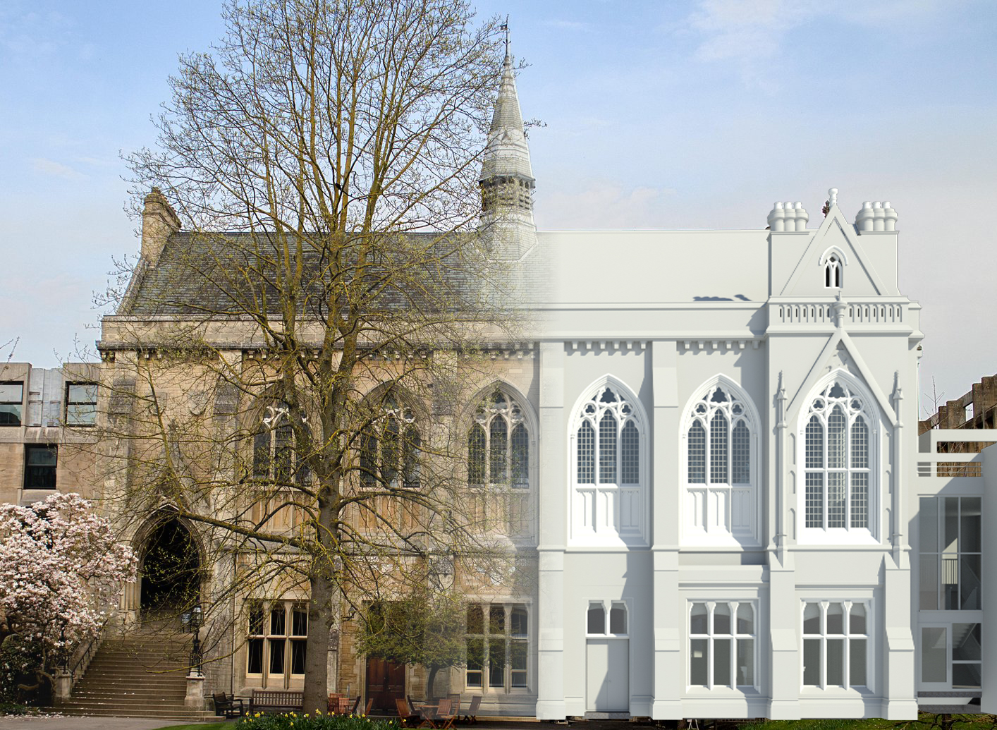
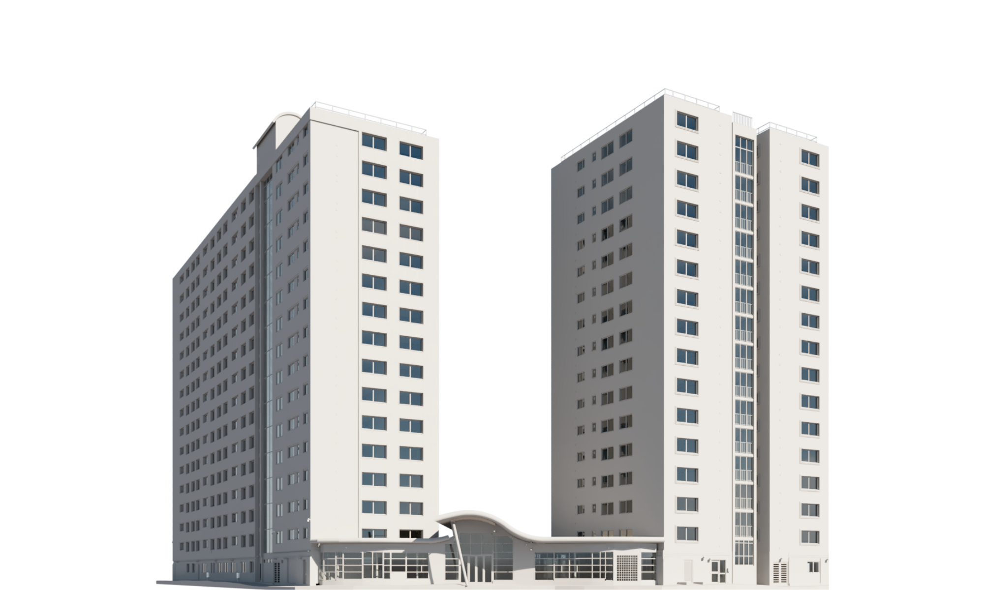
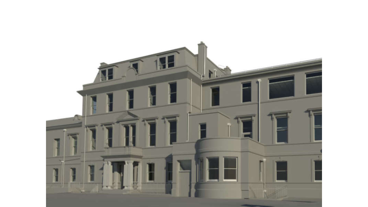
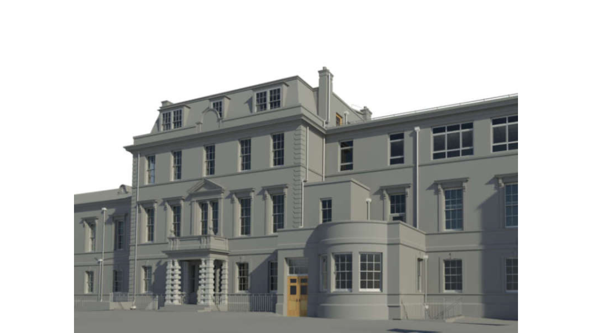
Building Information Modeling (BIM) is a 3D model-based process that integrates project data like geometry, spatial relationships, and material properties to improve planning, design, and construction management. Unlike traditional CAD, BIM enables real-time collaboration, clash detection, and more accurate project management through a single model.

BIM models offer key benefits such as improved collaboration, accuracy, faster delivery, and better cost management. By streamlining workflows and providing 3D visualisation, they help identify issues early, reduce errors, and ensure efficient, sustainable designs throughout a project’s lifecycle.

The cost of a 3D BIM survey depends on factors such as the size and complexity of the project, the level of detail required, and the location. Each project is unique, so pricing can vary based on these elements. For a tailored quote, get in touch with us today.

Integrated Surveying Services

Unlock the benefits of integrated surveying services with Surveybase. Our comprehensive solutions combine a range of services to deliver efficient, accurate, and cost-effective results, supporting every phase of your project with precision and reliability.

Related projects

Each project highlights our dedication to accuracy, innovation, and delivering integrated surveying services. Discover how we’ve helped clients achieve successful outcomes with precise, high-quality data.

The Boardwalk at Brighton Marina, the UK’s Largest Marina

Caernarfon Castle, Wales

Office for National Statistics Headquarters, Newport

Talk to an expert

Jordan King

Managing Director

Get A Quote

How can we help?

We’re here to support your project with accurate surveys and expert advice. Get in touch today to speak to one of our experts and find out how we can help.

Request a quote

To obtain a quotation, please email your survey brief to: quote@surveybase.co.uk or use our online quote portal.