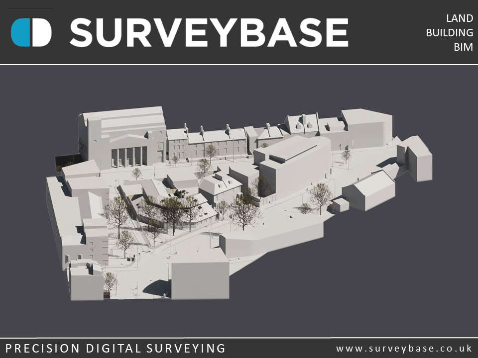
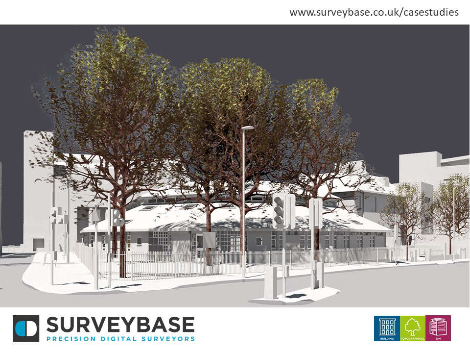
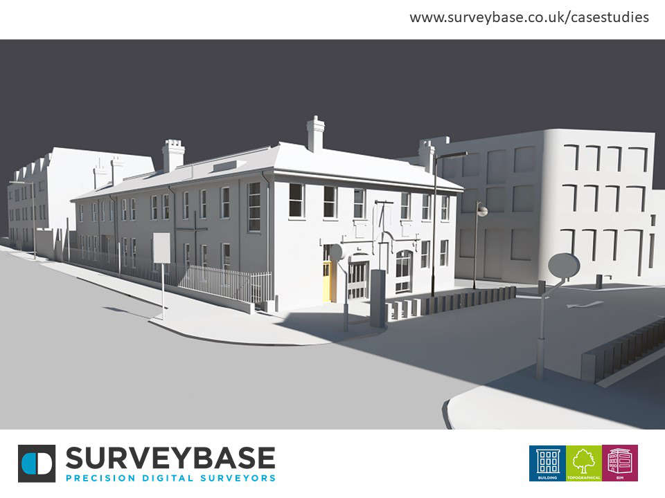
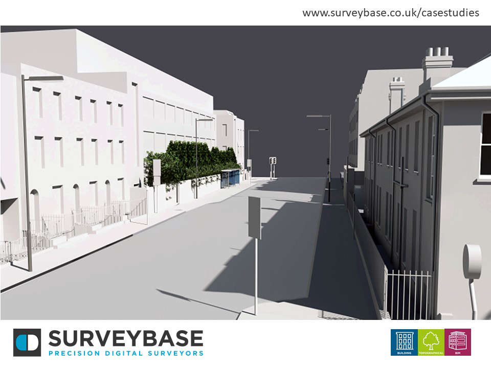
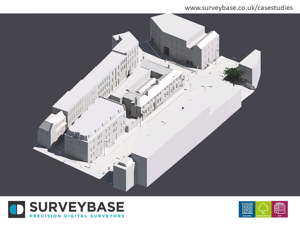
Surveybase Limited were appointed to undertake the 3D Topographical Survey of their Community Centres on Lowther Road and Greenland Road, London.
The resulting model and images present an excellent example of our 3D Topographical Survey service. This advanced survey solution suits landscapes of manmade construction. The 3D Survey brief included elevations of the Community Centres modelled to LOD2 Standard that presents the main structural and architectural features. Surrounding buildings have been modelled to a LOD1 Basic presenting their volumetric mass with window and door opening that face the development. Roads, paths, drainage, and street furniture are included as would be expected with a traditional Topographical Survey.
This impressive survey will be used as the accurate foundation for the full re development of both sites.