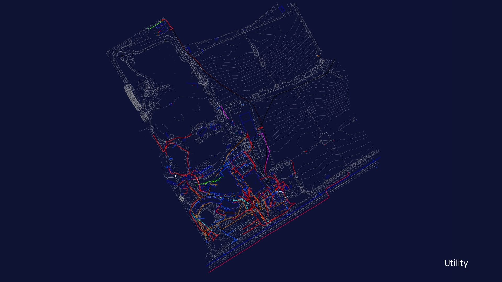
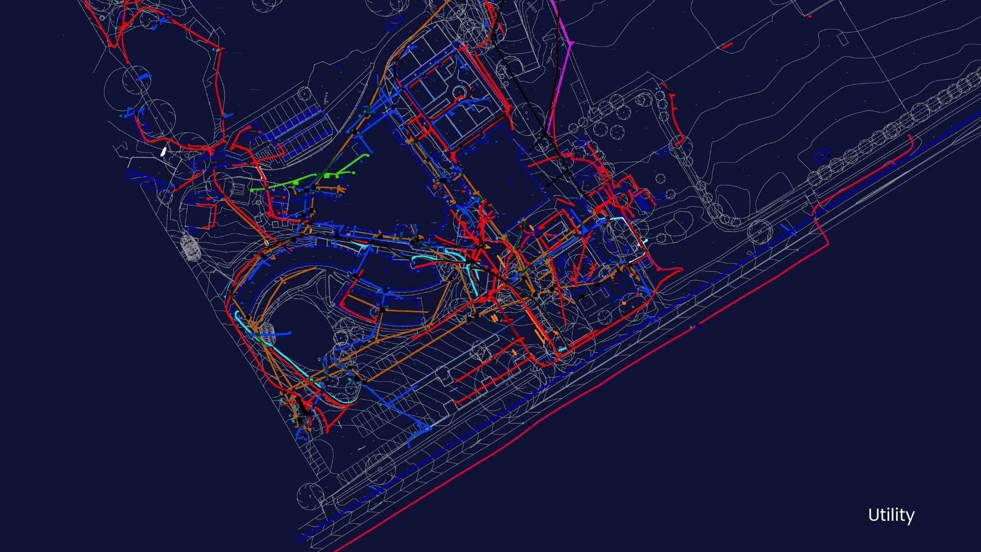
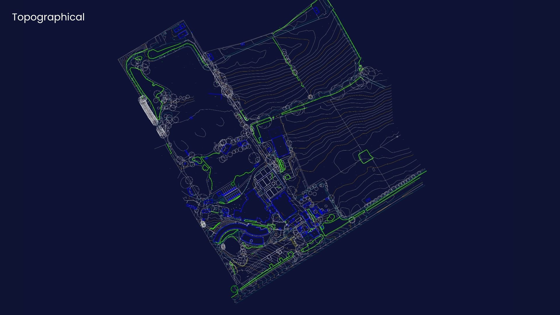
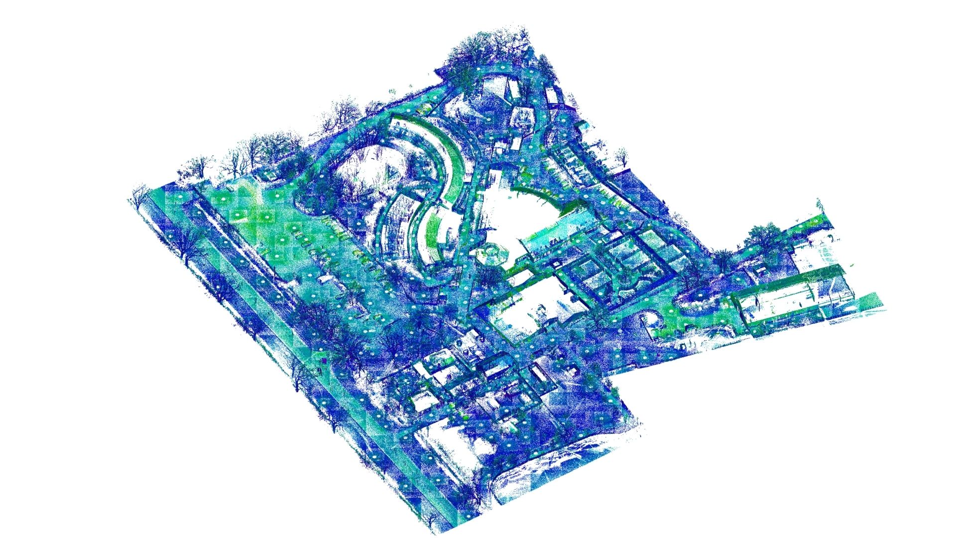
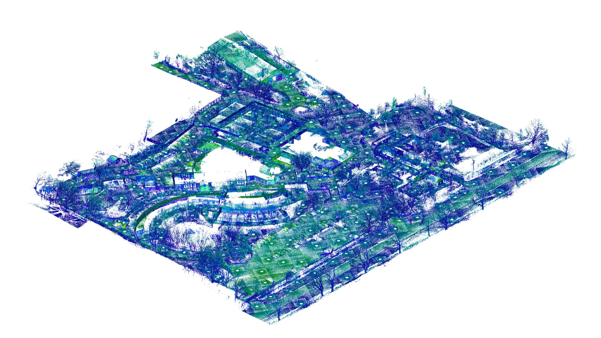
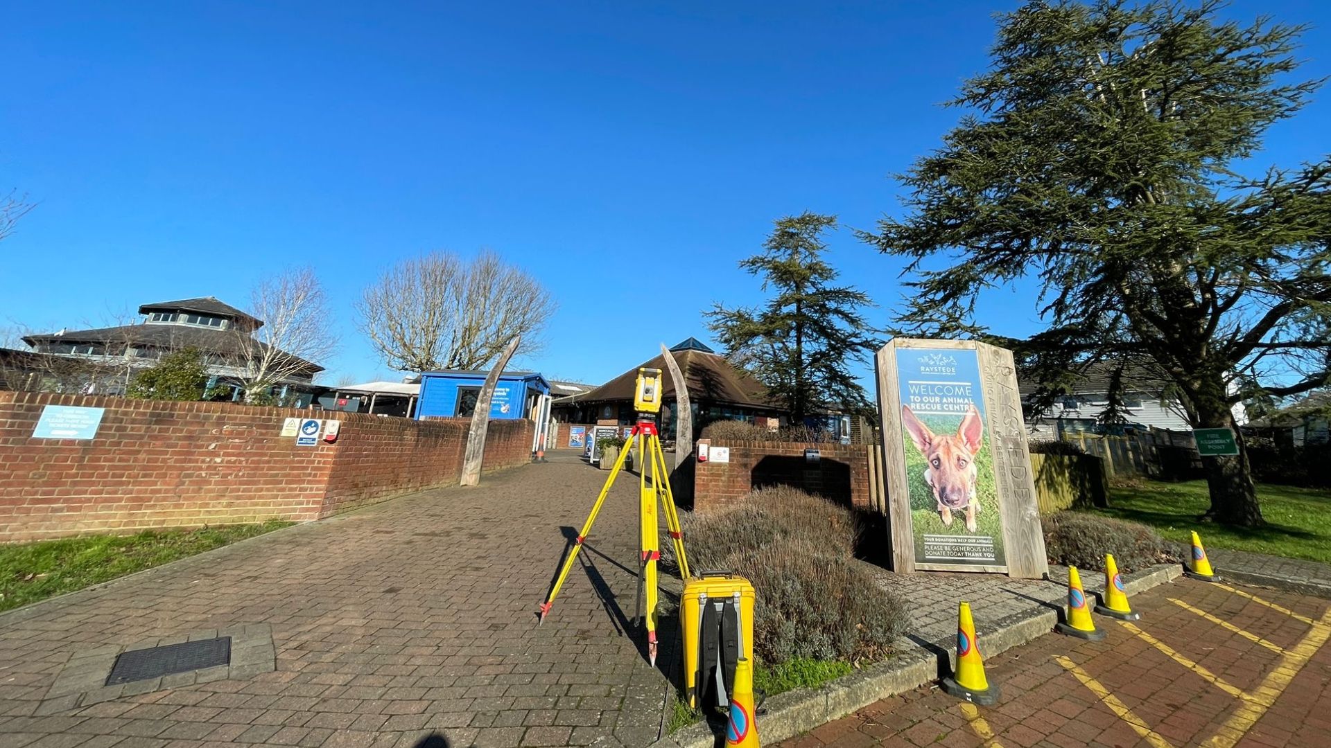
The Raystede Centre for Animal Welfare is a renowned animal rescue and rehoming charity located near Eastbourne, made up of 9.5 acres of land and two large lakes. As part of their ongoing site management and development plans, a topographical and utility survey was undertaken delivering 2D Topographical and Utility Plans of the grounds.
Using advanced surveying technology, we delivered a detailed and accurate topographical survey captured the precise layout, terrain, and existing features, while the utility survey mapped the location of underground services. This comprehensive data equips Raystede with a reliable foundation for any future planning, design, or infrastructure work.
Surveying an active animal welfare site presented unique challenges, including the need to minimise disruption to staff, visitors, and animals. Our expert team worked efficiently and sensitively, ensuring the survey was carried out with the utmost care and precision.
This survey reflects Surveybase’s commitment to delivering high-quality, accurate surveying services for a diverse range of clients.
It joins other notable projects in our expanding portfolio, including Brighton Marina, Brighton, and Wellow Farm Estate. Each project showcases our expertise in providing precise, detailed surveys that support the future development of complex and dynamic sites.
We combine almost 30 years of business with the latest surveying technology to deliver accurate, efficient, and professional results across the UK. Whether you’re planning a residential development or a large-scale commercial project, our expert team is here to help. To get started, visit our Quote Portal for a fast, tailored quote, or email: quote@surveybase.co.uk.