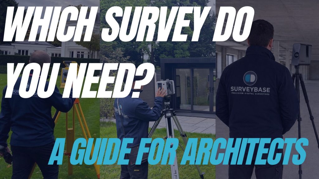
Since 1998, Surveybase have delivering professional geospatial surveying services across the UK, helping architects, engineers, and developers collect the accurate data needed at every stage of a project.
Choosing the right survey is the most critical decision at the start of any project. commission the wrong one, and you face delays and costly design revisions; get more than you need, and you’re wasting budget.
This guide cuts through the technical jargon to help you specify the exact survey data required for your project.
Quick Answer: Which Survey Do You Need?
| Project Requirement | Recommended Survey |
| New development site | Topographical Survey |
| Extension or refurbishment | Measured Building Survey |
| Excavation or groundworks | Utility Survey |
| Complex multi-team design | BIM Model |
| Remote visual record | Matterport |
1. What is a Topographical Survey and when do you need one?
A Topographical Survey maps the physical features of the land. It provides precise ground levels, site boundaries, existing drainage, trees, and street furniture.
- Common reasons to need it: Early-stage planning, site feasibility, and civil engineering design.
- Why it’s essential: You cannot accurately calculate cut-and-fill, drainage requirements, or building heights without a baseline level survey. It’s the primary input for any planning application.
2. What is a Measured Building Survey and what is it used for?
A Measured Building Survey (MBS) provides floor plans, sections, and elevations derived from precise laser measurement. When you are extending, converting, or refurbishing, you need accurate internal and external dimensions.
- Common reasons to need it: Refurbishments, renovations, or change-of-use projects.
- Why it’s essential: Relying on old archive drawings is a common cause of design clashes. An MBS ensures that your new designs align with the current reality of the building fabric.
3. Do you need a Utility Survey before digging?
Before your groundworkers pick up a shovel, you need to know exactly what is beneath the surface. For this survey, the Surveybase utility team uses GPR (Ground Penetrating Radar) and radio detection to locate gas, water, electric, and telecom services.
- Common reasons to need it: Prior to any excavation, site foundations, or piling works.
- Why it’s essential: Beyond the obvious safety risks, a utility strike can halt a project for weeks and lead to significant legal and financial liabilities.
4. Why use BIM modelling for survey data?
BIM (Building Information Modelling) is not just a 3D model; it is a data-rich environment. Our specialist geospatial modellers at Surveybase convert survey point-cloud data into an intelligent Revit model where every object (walls, columns, ducts) contains metadata.
- Common reasons to need it: Large-scale projects, complex renovations, or when coordinating with multiple engineering teams.
- Why it’s essential: If you are coordinating with structural and MEP engineers, a BIM-ready model allows for automated clash detection, ensuring that systems fit together before a single material arrives on site.
5. When should you use Matterport?
While traditional CAD drawings capture dimensions, Matterport captures the “look and feel” of a space.
- Common reasons to need it: Heritage recording, pre-construction recording, or remote site monitoring.
- Why it’s essential: These tools provide an immersive, high-resolution record of a site. They are perfect for stakeholders who need to review site conditions without traveling to the location.
Frequently Asked Questions
A: Yes. Surveybase offer over 25 different surveying services, allowing you to integrate the specific surveys you need for your project. We recommend scoping your requirements early to bundle these services for better efficiency and reduced mobilisations.
A: It depends on site size and complexity. Once we have a brief, we can provide a realistic delivery schedule that aligns with your design programme.
Need professional advice?
Contact Surveybase today for a free consultation to discuss your specific site requirements.