
Drone surveys have become one of the fastest-growing surveying services across construction, architecture, infrastructure, and property development. From roof inspections and topographical mapping to Building Information Modelling (BIM) workflows and volumetric calculations, unmanned aerial vehicles (UAVs) are changing how sites are captured and analysed.
If you are considering commissioning an aerial survey, you likely have questions about accuracy, costs, and capabilities. This guide provides direct, expert answers to the most common questions about drone surveys to help you determine if it’s the right fit for your project.
A drone survey is an aerial data-acquisition method that uses unmanned aerial vehicles (UAVs) equipped with high-resolution cameras or LiDAR (Light Detection and Ranging) sensors to capture precise spatial data from above.
The Surveybase professional workflow follows four distinct, structured steps to ensure survey-grade reliability:
Flight Planning: Surveyors define site boundaries, set flight paths, and establish Ground Control Points (GCPs) to guarantee spatial accuracy.
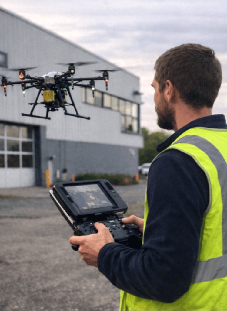
Data Capture: CAA-certified pilots autonomously fly the pre-programmed route, capturing overlapping aerial imagery or laser scans.
Data Processing: Specialised photogrammetry or LiDAR software stitches the data together, filtering out noise and georeferencing the coordinates.
Deliverable Production: The processed data is exported into clean formats compatible with CAD, BIM, and GIS software.
Professional drone surveys can provide survey-grade accuracy that meets strict construction and engineering standards. However, accuracy is not uniform it depends entirely on the equipment, flight altitude, and control methods used.
A drone survey generates rich, measurable data that you can export into several standard engineering and architectural formats depending on your project needs:
| Deliverable | Description |
|---|---|
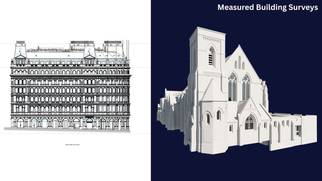
| Measured Building Surveys | Aerial survey data processed into comprehensive property records, including high-detail 2D floor plans, elevations, roof plans, sections, and parametric 3D BIM models for accurate design and project coordination. |
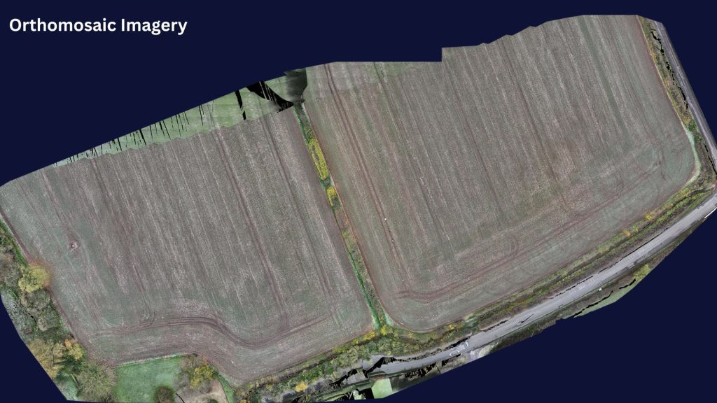
| Orthomosaic Imagery | A high-resolution, geometrically corrected map stitched from hundreds of aerial photographs. Unlike a standard photograph, an orthomosaic has no perspective distortion, allowing for accurate measurements and site analysis. |
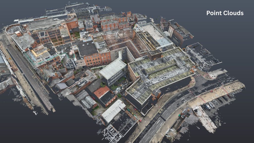
| Point Clouds | A digital dataset consisting of millions of precisely georeferenced points captured from aerial imagery. Point clouds form the foundation for 3D modelling, BIM workflows, asset management, and clash detection. |
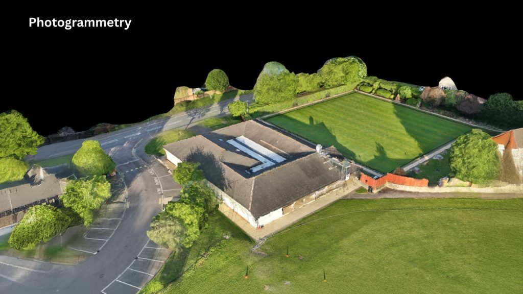
| Photogrammetry | The process of creating accurate 2D and 3D spatial data from overlapping aerial photographs. Photogrammetry is used to produce orthomosaics, point clouds, digital surface models, terrain models, and site measurements. |
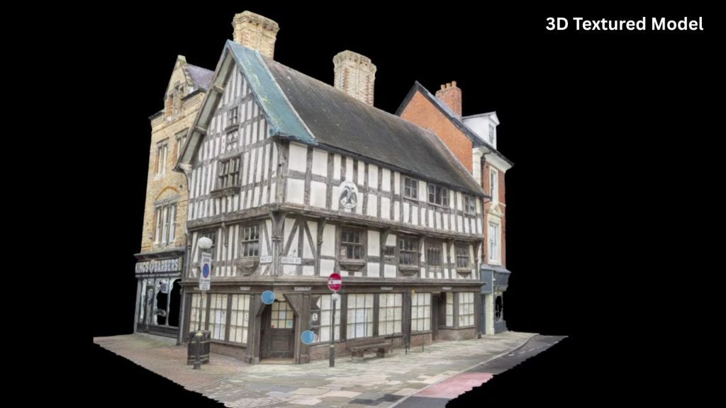
| 3D Mesh Models | Photorealistic 3D textured models created by combining overlapping drone imagery and ground photography, providing accurate digital representations for planning, visualisation, inspections and digital twin applications. |
Are drone surveys safe and legal?
Yes. Professional drone surveys are significantly safer than traditional methods because they eliminate the need for working at height, erecting scaffolding, or organising road closures. Legitimate providers like Surveybase operate under strict civil aviation regulations (such as the CAA in the UK), possess specialised commercial insurance, and conduct comprehensive pre-flight risk assessments.
Can drones replace traditional surveys?
No, drone surveys generally complement traditional surveying methods rather than fully replacing them. While drones excel at rapidly mapping large or hazardous areas from above, ground-based surveyors still establish ground control, verify accuracy, and capture data in areas hidden from aerial view, such as beneath dense structures or within indoor spaces.
Drone surveying is the ideal solution if your project requires rapid data collection over large areas, involves hazardous or restricted access (such as a fragile roof), or requires highly visual 3D outputs. By combining speed, safety, and survey-grade accuracy, drone technology has cemented itself as an indispensable tool for modern data-driven construction and development workflows.
Need professional advice?
Contact Surveybase today for a free consultation to discuss your specific site requirements.
Watch: What Is a Drone Survey?
Watch our short explainer video to learn more!