Quick Snapshot: Which method should you choose?
-
Choose Laser Scanning (LiDAR) for structural precision, CAD/BIM-readiness, and complex interiors where millimetre accuracy is non-negotiable.
-
Choose Photogrammetry for visual storytelling, public engagement, and cost-effective surface documentation of accessible exteriors.
-
Hybrid Workflow: Combine both to achieve the “gold standard” of precision geometry (LiDAR) textured with high-fidelity visual data (Photogrammetry).
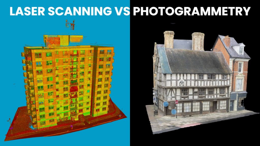
What is the difference between Laser Scanning and Photogrammetry?
Laser scanning and photogrammetry are the two primary methods for 3D documentation in UK heritage conservation, but they rely on different capture technologies.
| Feature | Laser Scanning (LiDAR) | Photogrammetry |
| Primary Output | Dense 3D Point Cloud | 3D Textured Mesh |
| Accuracy | High | Moderate to High (Control-dependent) |
| Data Capture | Active (Laser pulses) | Passive (Optical photos) |
| Lighting Needs | Minimal (Works in low light) | High (Requires consistent lighting) |
| Best For | Structural analysis & BIM | Visual fidelity & public displays |
When should I use Laser Scanning for heritage sites?
Laser scanning is the industry standard for measured building surveys and compliance-grade documentation in the UK.
-
Complex Architectural Detail: Captures fine ornamentation and masonry that optical sensors might miss in shadows.
-
2D and 3D Deliverables: Produces point clouds that can be used to produce accurate 2D measured Building Survey Plans and 3D BIM Revit Models.
-
Limited Access Environments: Excels in dark or confined spaces (e.g., crypts, roof voids) where lighting setup for photography is difficult.

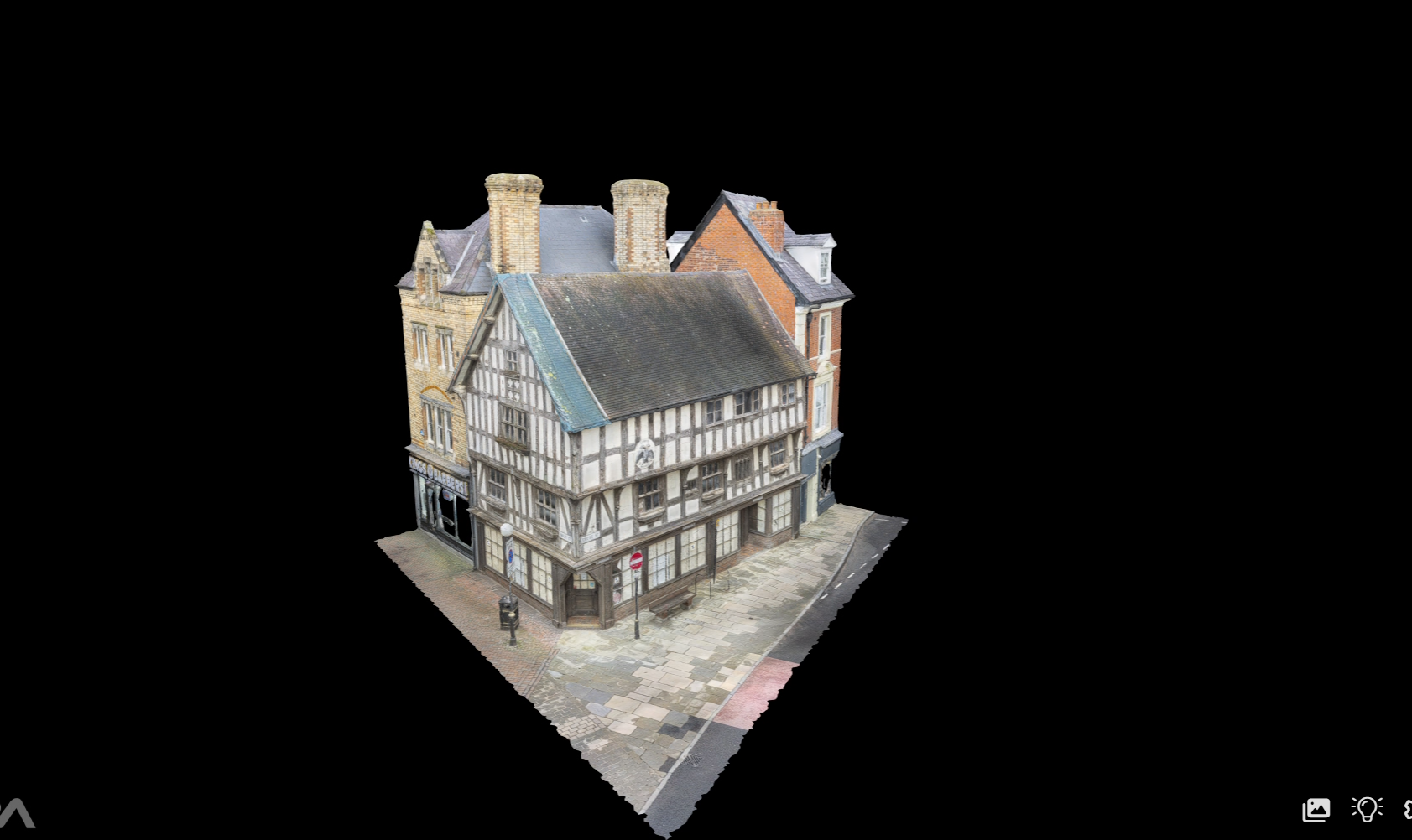
When should I use Photogrammetry for heritage conservation?
Photogrammetry is highly effective for visual documentation where the goal is interpretation or aesthetic quality.
-
Cost-Efficiency: Lower equipment costs make it ideal for smaller heritage projects or volunteer-led archaeological recording.
-
Visual Realism: Produces high-resolution, true-colour textured models superior to the “raw” look of many laser scans.
-
Public Engagement: Ideal for creating interactive web models, virtual tours, or digital archives for public education.
-
Facade Recording: Excellent for large-scale external elevations where drone-based imagery can be processed rapidly.
How to ensure compliance with UK Heritage Standards?
Most UK conservation projects require adherence to specific professional standards.
Historic England Guidance: Consult official “Measured Survey” specifications when commissioning work to ensure the correct Level of Detail (LOD) is requested.
Frequently Asked Questions (FAQ)
Q: Can these methods be combined?
A: Yes, this is often the best practice for complex UK heritage sites. Professionals use laser scanning for the structural “skeleton” and photogrammetry for the visual “skin,” providing both accuracy and realism.
Q: Does laser scanning replace photogrammetry?
A: No. They are complementary. Laser scanning provides the geometric truth, while photogrammetry provides the visual context.